Garissa Airport
Garissa Airport | |||||||||||
|---|---|---|---|---|---|---|---|---|---|---|---|
| Summary | |||||||||||
| Airport type | Public, Civilian | ||||||||||
| Owner | Kenya Airports Authority | ||||||||||
| Serves | Garissa, Kenya | ||||||||||
| Location | Garissa, | ||||||||||
| Elevation AMSL | 476 ft / 145 m | ||||||||||
| Coordinates | 00°28′07″S 39°38′58″E | ||||||||||
| Map | |||||||||||
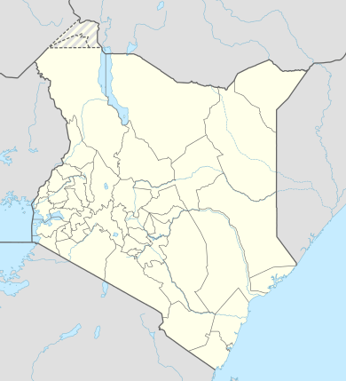 GAS Location of Garissa Airport in Kenya Placement on map is approximate | |||||||||||
| Runways | |||||||||||
| |||||||||||
Location
Garissa Airport (IATA: GAS, ICAO: HKGA) is located in the town of Garissa, Garissa County, near the International border with Somalia.
Its location is approximately 315 kilometres (196 mi), by air, north of Nairobi International Airport, the country's largest civilian airport.[1] The geographic coordinates of this airport are:0° 28' 7.00"N, 39° 38' 58.00"E (Latitude:-0.468610; Longitude:39.649445).
Overview
Garissa Airport is a small civilian airport, serving Garissa and surrounding communities. Situated at 145 metres (476 ft) above sea level, the airport has a single asphalt runway 17-35 that measures 3,937 feet (1,200 m) long.[2]
| Airlines | Destination |
|---|---|
| Freedom Airline | Nairobi-Wilson |
| Mrash Tours & Travel | Nairobi-Wilson |
References
- "Distance between Garissa () (Airport) and Jomo Kenyatta Airport Nairobi (Nairobi Area) (Kenya)". distancecalculator.globefeed.com. Retrieved 21 August 2018.
- "GAS - Garissa, KE - Airport - Great Circle Mapper". www.gcmap.com. Retrieved 21 August 2018.
This article is issued from Wikipedia. The text is licensed under Creative Commons - Attribution - Sharealike. Additional terms may apply for the media files.