Garba Tula Airport
Garba Tula | |||||||||||
|---|---|---|---|---|---|---|---|---|---|---|---|
| Summary | |||||||||||
| Airport type | Public, Civilian | ||||||||||
| Owner | Kenya Airports Authority | ||||||||||
| Serves | Garba Tula, Kenya | ||||||||||
| Location | Garba Tula, | ||||||||||
| Elevation AMSL | 2,000 ft / 610 m | ||||||||||
| Coordinates | 00°31′12″N 38°30′56″E | ||||||||||
| Map | |||||||||||
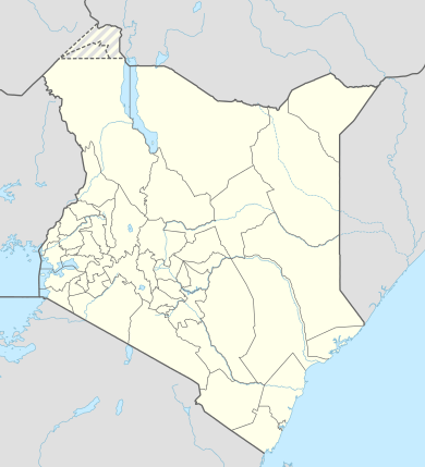 HKGT Location of Garba Tula Airport in Kenya Placement on map is approximate | |||||||||||
| Runways | |||||||||||
| |||||||||||
Location
Garba Tula Airport (IATA: n/a, ICAO: HKGT) is located in Garba Tula District, Eastern Province, in the northeastern part of Kenya, near the town of Garba Tula.
Its location lies approximately 271 kilometres (168 mi), by air, northeast of Nairobi International Airport, the country's largest civilian airport.[1] The geographic coordinates of this airport are:0° 31' 12.00"N, 38° 30' 56.00"E (Latitude:0.520000; Longitude:38.515555).
Overview
Garba Tula Airport is a small civilian airport, serving Garba Tula and surrounding communities. Situated 610 metres (2,000 ft) above sea level, the airport has a single unpaved runway 2-20 that measures 3,280 feet (1,000 m) long.[2]
Airlines and destinations
None at the moment
See also
References
- "Distance between Garba Tula (Eastern) and Jomo Kenyatta Airport Nairobi (Nairobi Area) (Kenya)". distancecalculator.globefeed.com. Retrieved 21 August 2018.
- "HKGT - Garba Tula, KE - Airport - Great Circle Mapper". www.gcmap.com. Retrieved 21 August 2018.
This article is issued from Wikipedia. The text is licensed under Creative Commons - Attribution - Sharealike. Additional terms may apply for the media files.