Loiyangalani Airport
Loiyangalani Airport is an airport in Loiyangalani, Kenya.
Loiyangalani Airport | |||||||||||
|---|---|---|---|---|---|---|---|---|---|---|---|
| Summary | |||||||||||
| Airport type | Public, Civilian | ||||||||||
| Owner | Kenya Civil Aviation Authority | ||||||||||
| Serves | Loiyangalani, Kenya | ||||||||||
| Location | Loiyangalani, | ||||||||||
| Elevation AMSL | 1,194 ft / 364 m | ||||||||||
| Coordinates | 02°46′07″N 36°43′00″E | ||||||||||
| Map | |||||||||||
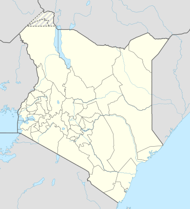 HKLY Location of Loiyangalani Airport in Kenya Placement on map is approximate | |||||||||||
| Runways | |||||||||||
| |||||||||||
Location
Loiyangalani Airport(IATA: LOY, ICAO: HKLY) is located in Marsabit County, Eastern Province, in the town of Loiyangalani, in the northwestern part of the Republic of Kenya, on the eastern shores of Lake Turkana.
Its location is approximately 441 kilometres (274 mi), by air, north of Nairobi International Airport, the country’s largest civilian airport.[1] The geographic coordinates of Loiyangalani Airport are:2° 46' 7.00"N, 36° 43' 0.00"E (Latitude:2.768610; Longitude:36.716667).
Overview
Loiyangalani Airport is a civilian airport that serves the town of Loiyangalani and surrounding communities. Situated at 1,194 feet (364 m) above sea level,[2] the airport has a single broken bitumen and stone runway which is 3,699 feet (1,127 m) long,[3] and 65 feet (20 m) wide.[4]
Airlines and destinations
At this time, there is no regular, scheduled airline service to Loiyangalani Airport.
References
- "Distance between South Island (Eastern) and Jomo Kenyatta Airport Nairobi (Nairobi Area) (Kenya)". distancecalculator.globefeed.com. Retrieved 2018-08-21.
- Elevation of Loiyangalani Airport
- "AirportLinger.com - Loyangalani (LOY/HKLY), Kenya". www.airportlinger.com. Retrieved 2018-08-21.
- "World Airport Data - [HKLY] Runway details and Data 16/34 at Loyengalani". www.al-nasir.com. Retrieved 2018-08-21.