Mont-lès-Seurre
Mont-lès-Seurre is a commune in the Saône-et-Loire department in the region of Bourgogne in eastern France.
Mont-lès-Seurre | |
|---|---|
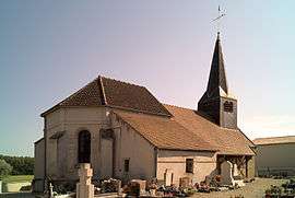 The church in Mont-lès-Seurre | |
Location of Mont-lès-Seurre 
| |
 Mont-lès-Seurre  Mont-lès-Seurre | |
| Coordinates: 46°56′55″N 5°07′21″E | |
| Country | France |
| Region | Bourgogne-Franche-Comté |
| Department | Saône-et-Loire |
| Arrondissement | Chalon-sur-Saône |
| Canton | Gergy |
| Area 1 | 6.43 km2 (2.48 sq mi) |
| Population (2017-01-01)[1] | 180 |
| • Density | 28/km2 (73/sq mi) |
| Time zone | UTC+01:00 (CET) |
| • Summer (DST) | UTC+02:00 (CEST) |
| INSEE/Postal code | 71315 /71270 |
| Elevation | 174–194 m (571–636 ft) (avg. 180 m or 590 ft) |
| 1 French Land Register data, which excludes lakes, ponds, glaciers > 1 km2 (0.386 sq mi or 247 acres) and river estuaries. | |
References
- "Populations légales 2017". INSEE. Retrieved 6 January 2020.
| Wikimedia Commons has media related to Mont-lès-Seurre. |
This article is issued from Wikipedia. The text is licensed under Creative Commons - Attribution - Sharealike. Additional terms may apply for the media files.