Mirriwinni, Queensland
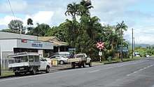
Mirriwinni is a town and a locality in the Cairns Region, Queensland, Australia. The spelling Miriwinni has also been used historically, but Mirriwinni is the official spelling from 8 October 2010.[2][3] In the 2016 census, Mirriwinni had a population of 447 people.[1]
| Mirriwinni Queensland | |||||||||||||||
|---|---|---|---|---|---|---|---|---|---|---|---|---|---|---|---|
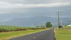 Looking south-west along Buckland Road, 2018 | |||||||||||||||
 Mirriwinni | |||||||||||||||
| Coordinates | 17.3983°S 145.9091°E | ||||||||||||||
| Population | 447 (2016 census)[1] | ||||||||||||||
| • Density | 9.067/km2 (23.48/sq mi) | ||||||||||||||
| Postcode(s) | 4871 | ||||||||||||||
| Area | 49.3 km2 (19.0 sq mi) | ||||||||||||||
| LGA(s) | Cairns Region | ||||||||||||||
| State electorate(s) | Hill | ||||||||||||||
| Federal Division(s) | Kennedy | ||||||||||||||
| |||||||||||||||
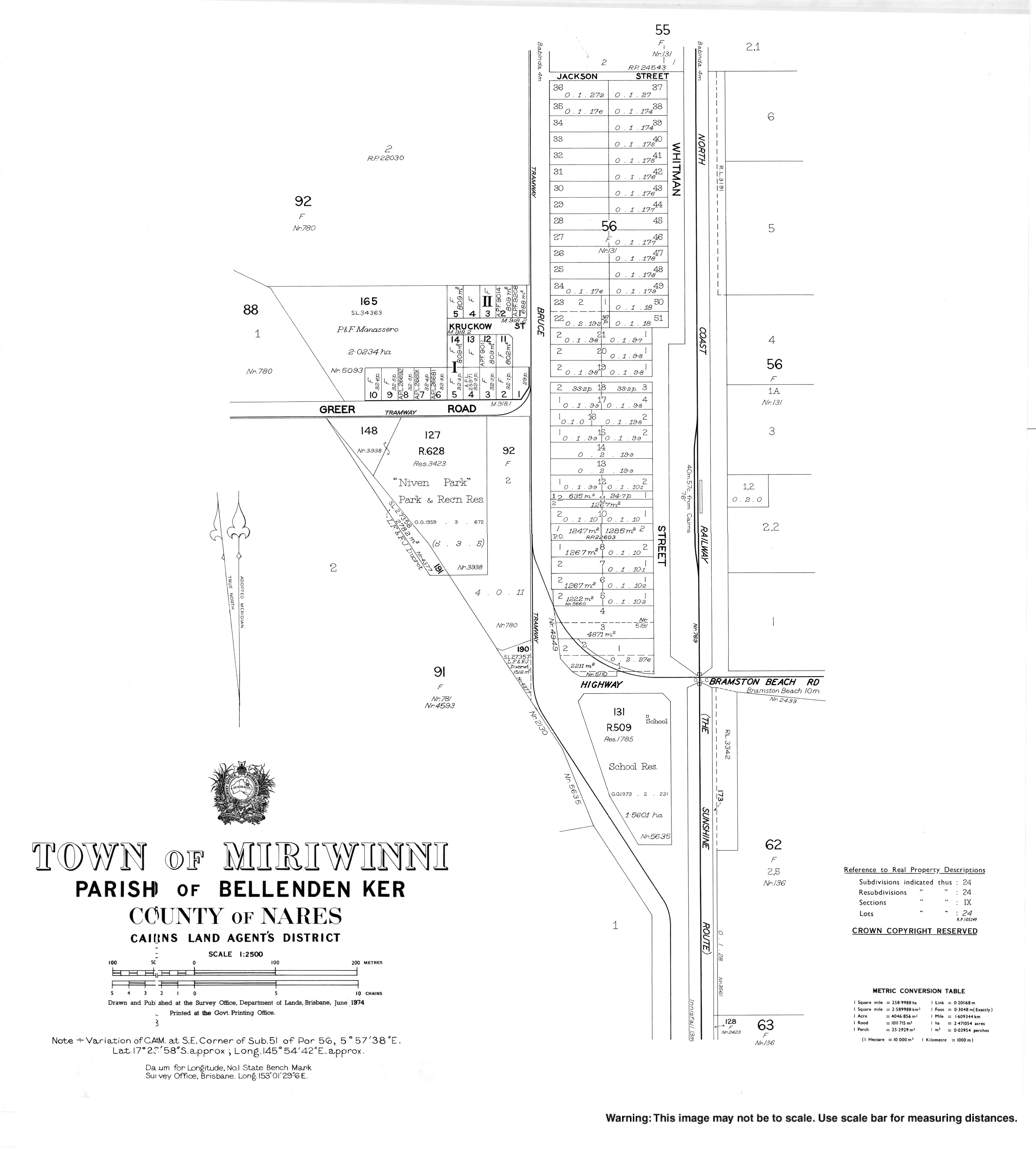
Geography
The town is south of the centre of the locality. The Russell River forms the eastern and south-eastern boundary, while Babinda Creek forms part of the northern boundary. The foothills of Mount Bartle Frere form the western boundary.[4]
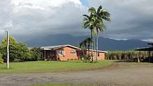
Most of the land in the locality is flat low-lying land (approx 10 metres above sea level) and is used for farming, predominantly growing sugarcane. However, in the western edge of the locality, the land rises to up to 150 metres above sea level heading towards the peaks of Mount Bartle Frere in the adjacent locality of Wooroonooran.[4]
The Bruce Highway and the North Coast railway line traverse the locality from south to west, both passing through the town, but there is no railway station in the locality. There is however a network of sugarcane tramways that supports the local cane farmers.[4]
History
The town takes its name from the railway station name, first used by the Queensland Railways Department on 18 February 1915, reportedly an Aboriginal word meaning mountain rock.[2]
Miriwinni Provisional School opened on 16 October 1916 and became Miriwinni State School on 1 March 1918.[5] On 9 July 2012, it was renamed Mirriwinni State School.[6]
Miriwinni Post Office opened on 1 July 1925 (a receiving office had been open from 1915).[7]
Education
Mirriwinni State School is a co-educational government primary school (P-6) at 3 Whitman Street. In 2016, the school had an enrolment of 58 children with 3 teachers (3 full-time equivalent) and 6 non-teaching staff (4 full-time equivalent).[8]
Notable residents
- Brad Beven, triathlete
References
- Australian Bureau of Statistics (27 June 2017). "Mirriwinni (SSC)". 2016 Census QuickStats. Retrieved 7 May 2018.

- "Mirriwinni - town in Cairns Region (entry 46986)". Queensland Place Names. Queensland Government. Retrieved 30 July 2017.
- "Mirriwinni - locality in Cairns Region (entry 48763)". Queensland Place Names. Queensland Government. Retrieved 30 July 2017.
- "Queensland Globe". State of Queensland. Retrieved 30 July 2017.
- Queensland Family History Society (2010), Queensland schools past and present (Version 1.01 ed.), Queensland Family History Society, ISBN 978-1-921171-26-0
- "Opening and closing dates of Queensland Schools". Queensland Government. Retrieved 30 July 2017.
- Premier Postal History. "Post Office List". Premier Postal Auctions. Retrieved 10 May 2014.
- "Annual Report 2016" (PDF). Mirriwinni State School. Archived (PDF) from the original on 31 July 2017. Retrieved 31 July 2017.
Further reading
- Miriwinni State School 75th jubilee 1916-1991, Miriwinni State School, 1991