La Naveta Formation
The La Naveta Formation (Spanish: Formación La Naveta, Kiln) is a geological formation of the Altiplano Cundiboyacense, Eastern Ranges of the Colombian Andes. The formation consists of a lower part of coraline limestones and an upper sequence of quartzitic sandstones with intercalated black shales and dates to the Early Cretaceous period; Hauterivian to Barremian epochs.
| La Naveta Formation Stratigraphic range: Hauterivian-Barremian ~130–125 Ma | |
|---|---|
| Type | Geological formation |
| Underlies | Trincheras Formation |
| Overlies | Útica Formation |
| Thickness | unknown |
| Lithology | |
| Primary | Siltstone |
| Other | Shale |
| Location | |
| Coordinates | 5°15′13″N 74°20′28″W |
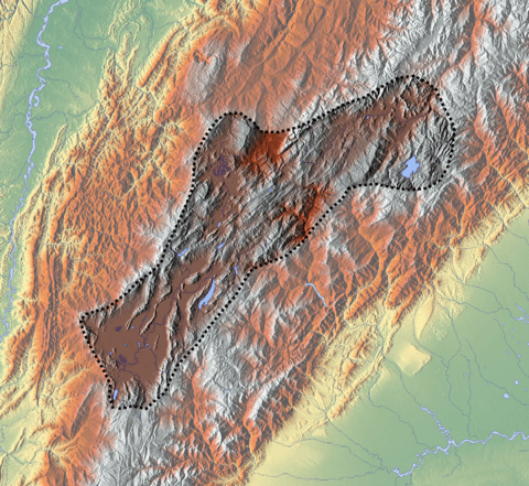
| Region | Altiplano Cundiboyacense Eastern Ranges, Andes |
| Country | |
| Type section | |
| Named by | Hubach |
| Location | Bogotá River |
| Year defined | 1931 |
| Coordinates | 5°15′13″N 74°20′28″W |
| Region | Cundinamarca |
| Country | |
Etymology
The formation was first defined as Horizonte de La Naveta by Hubach in 1931 and in 1969 by Cáceres and Etayo elevated to formation.[1]
Description
Lithologies
The La Naveta Formation is characterised by a lower part of coraline limestone and an upper sequence of quartzitic sandstones with black shales intercalated.[1]
Stratigraphy and depositional environment
The La Naveta Formation overlies the Útica Formation and is overlain by the Trincheras Formation. The age has been estimated to be Hauterivian to Barremian. Stratigraphically, the formation is time equivalent with the Las Juntas, Ritoque and Paja Formations.[1]
Outcrops
The La Naveta Formation has its type locality to the north of the Bogotá River.[1]
Regional correlations
| Age | Paleomap | VMM | Guaduas-Vélez | W Emerald Belt | Villeta anticlinal | Chiquinquirá- Arcabuco | Tunja- Duitama | Altiplano Cundiboyacense | El Cocuy | ||||
|---|---|---|---|---|---|---|---|---|---|---|---|---|---|
| Maastrichtian |  | Umir | Córdoba | Seca | eroded | Guaduas | Colón-Mito Juan | ||||||
| Umir | Guadalupe | ||||||||||||
| Campanian | Córdoba | ||||||||||||
| Oliní | |||||||||||||
| Santonian | La Luna | Cimarrona - La Tabla | La Luna | ||||||||||
| Coniacian | Oliní | Conejo | Chipaque | ||||||||||
Güagüaquí | Loma Gorda | undefined | La Frontera | ||||||||||
| Turonian |  | Hondita | La Frontera | Otanche | |||||||||
| Cenomanian | Simití | hiatus | La Corona | Simijaca | Capacho | ||||||||
| Pacho Fm. | Hiló - Pacho | Churuvita | Une | Aguardiente | |||||||||
| Albian |  | Hiló | Chiquinquirá | Tibasosa | Une | ||||||||
| Tablazo | Tablazo | Capotes - La Palma - Simití | Simití | Tibú-Mercedes | |||||||||
| Aptian | Capotes | Socotá - El Peñón | Paja | Fómeque | |||||||||
| Paja | Paja | El Peñón | Trincheras | Río Negro | |||||||||
| La Naveta | |||||||||||||
| Barremian |  | ||||||||||||
| Hauterivian | Muzo | Cáqueza | Las Juntas | ||||||||||
| Rosablanca | Ritoque | ||||||||||||
| Valanginian | Ritoque | Furatena | Útica - Murca | Rosablanca | Girón | Macanal | |||||||
| Rosablanca | |||||||||||||
| Berriasian |  | Cumbre | Cumbre | Los Medios | Guavio | ||||||||
| Tambor | Arcabuco | Cumbre | |||||||||||
| Sources | |||||||||||||
See also
References
- Acosta & Ulloa, 2002, p.38
Bibliography
- Acosta Garay, Jorge E., and Carlos E. Ulloa Melo. 2002. Mapa Geológico del Departamento de Cundinamarca - 1:250,000 - Memoria explicativa, 1–108. INGEOMINAS. Accessed 2017-04-26.
- Villamil, Tomas. 2012. Chronology Relative Sea Level History and a New Sequence Stratigraphic Model for Basinal Cretaceous Facies of Colombia, 161–216. Society for Sedimentary Geology (SEPM).
Maps
- Acosta, Jorge E., and Carlos E. Ulloa. 1998. Plancha 246 - Fusagasugá - 1:100,000, 1. INGEOMINAS. Accessed 2017-06-06.
External links
- Gómez, J.; N.E. Montes; Á. Nivia, and H. Diederix. 2015. Plancha 5-09 del Atlas Geológico de Colombia 2015 – escala 1:500,000, 1. Servicio Geológico Colombiano. Accessed 2017-03-16.