Fra Cristobal Range
The Fra Cristobal Range, (Fra Cristóbal Range) is a 17 mi (27 km) long, mountain range in central-north Sierra County, New Mexico. Its northern extreme above Fra Cristoblal Mountain extends into Socorro County. The range borders the eastern shore of Elephant Butte Reservoir on the Rio Grande, and the range lies towards the southwest of the Jornada del Muerto, the desert region east of the river.[1]
| Fra Cristobal Range | |
|---|---|
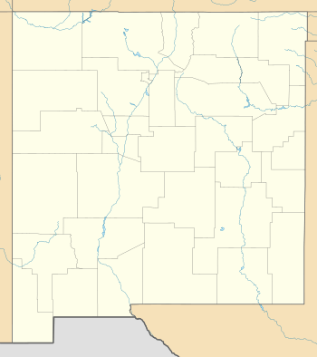
 Fra Cristobal Range in New Mexico | |
| Highest point | |
| Elevation | 6,834 ft (2,083 m) |
| Coordinates | 33°24′20″N 107°06′25″W |
| Dimensions | |
| Length | 17 mi (27 km) N-S |
| Width | 6 mi (9.7 km) |
| Geography | |
| Country | United States |
| State | New Mexico |
| Regions | Jornada del Muerto and Rio Grande Valley |
| County | Sierra and Socorro |
| Settlement | Crocker |
| Range coordinates | 33°19′24″N 107°05′30″W |
| Borders on | List
|
| Topo map | Crocker, Engle, Lava USGS quads |
Description
The Fra Cristobal Range is an arid, moderate elevation, north–south trending mountain range, about 17 mi long and narrow, only about 7 mi at its widest. Crater Hill, 5,087 feet (1,551 m) lies west of the central ridgeline, and north of Black Bluffs, Red Cliff at the Reservoir.[1]
The high peak in the northern end of the range, which gives the range its name, is Fra Cristobal Mountain, 5,932 feet (1,808 m), is at the north perimeter of the range. It is located at 33°28′12″N 107°05′55″W[2] The mountain is said to have resembled the profile of a priest, Fray Cristóbal de Salazar, a cousin of Juan de Oñate, with the first colonizing expedition in 1598.[3]:157, note 21
References
- U.S. Geological Survey Geographic Names Information System: Fra Cristobal Range
- U.S. Geological Survey Geographic Names Information System: Fra Cristobal Mountain
- George D. Torok, From the Pass to the Pueblos, Sunstone Press, Santa Fe, Dec 1, 2011
External links
Range Highpoint
Fra Cristobal Range
- Crater Hill, (approximate range center (at west)), mountainzone, coordinates
- Fra Cristobal Range, mountainzone