Escalante Desert
The Escalante Desert is a geographic Great Basin region and arid desert ecoregion, in the deserts and xeric shrublands biome, located in southwestern Utah.
| Escalante Desert | |
|---|---|
.jpg) Escalante Desert looking southwest from the Lund Highway | |
 Escalante Desert | |
| Area | 3,270 sq mi (8,500 km2) |
| Geography | |
| Country | United States |
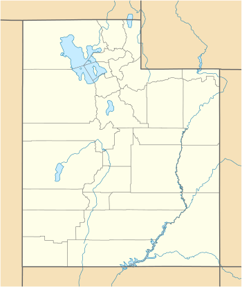
| State | Utah |
| Country | Iron |
| Coordinates | 37.92°N 113.5°W |
Geography
The Escalante Desert is northwest of Cedar City in Iron County, Utah, and extends into part of Millard County.[1] The region spans most of Iron County, which annually has 13 inches (330 mm) rainfall and 5.9 feet (1.8 m) snowfall.[2] The Escalante region also lies primarily between State Route 56 and Route 21, as well as north and west of Interstate 15.
From the Escalante Desert region's peripheral ridges, the elevation slowly declines to Lund Flats (38°01′19″N 113°26′20″W),[1] which has railroad tracks between Milford and Lund.
Subsidence
Near Beryl Junction (37°42′34″N 113°39′22″W)[1] are 3 fissures formed by suspected groundwater-related subsidence caused by groundwater extraction for agricultural irrigation.[3]
References
- U.S. Geological Survey Geographic Names Information System: Escalante Desert (1440959), Escalante Valley (1440962), Lund Flats (1430016), Lund (1430015), Beryl Junction (1437499)
- "Best Places to Live...Utah". BestPlaces.net.
Iron County, UT, gets 13 inches of rain per year
- William R. Lund, Southern Utah Office (December 21, 2005). "Earth Fissures near Beryl Junction in the Escalante Desert". Archived from the original on December 17, 2005.