Daru
Daru is the capital of the Western Province of Papua New Guinea [2] and a former Catholic bishopric. Daru town falls under the jurisdiction of Daru Urban LLG.
Daru | |
|---|---|
Town | |
.jpg) | |
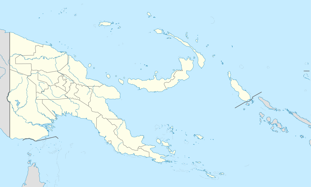 Daru Location in Papua New Guinea | |
| Coordinates: 9°05′S 143°12′E | |
| Country | |
| Province | Western Province |
| District | South Fly District |
| LLG | Daru Urban |
| Established | 1884 |
| Elevation | 3 m (10 ft) |
| Population | |
| • Total | 15,142 |
| 2011 | |
| Time zone | UTC+10 (AEST) |
| Climate | Am |
| Location | 440 km (270 mi) from Port Moresby by air |
The township is entirely located on an island that goes by the same name, which is located near the mouth of the Fly River on the western side of the Gulf, just north of Torres Strait and Far North Queensland in Australia. Daru had a recorded population of 15,142 as of the 2011 census.[1]
Population
The language of the Daru people is Kiwai (South-West Coastal Kiwai), also spoken on neighbouring mainland villages (the name Kiwai comes from Kiwai Island some 60 km north-east in the Fly River delta). However, the Kiwai settlement of Daru is fairly recent. The original inhabitants, the Hiamo, were Western-Central Torres Strait Islanders originally from Yama in the Torres Strait. With the Kiwai colonisations, the main group of Hiamo people moved to Southern Torres Strait and settled the (Inner) Muralag group.
Religion
Its St. Louis de Montfort Co-Cathedral [3] is the 'second see' (and former 'full' cathedral) of the Roman Catholic Diocese of Daru-Kiunga (renamed in 1987, originally Apostolic Prefecture of Daru since 1957, promoted diocese in 1966)
Transport
It is served by Daru Airport, a small airstrip.
Climate
Daru has a tropical monsoon climate (Am) with heavy rainfall most of the year and low rainfall from July to October.
| Climate data for Daru | |||||||||||||
|---|---|---|---|---|---|---|---|---|---|---|---|---|---|
| Month | Jan | Feb | Mar | Apr | May | Jun | Jul | Aug | Sep | Oct | Nov | Dec | Year |
| Average high °C (°F) | 31.7 (89.1) |
31.7 (89.1) |
31.2 (88.2) |
30.6 (87.1) |
29.9 (85.8) |
28.9 (84.0) |
28.2 (82.8) |
28.4 (83.1) |
29.2 (84.6) |
30.6 (87.1) |
31.8 (89.2) |
32.4 (90.3) |
30.4 (86.7) |
| Daily mean °C (°F) | 27.5 (81.5) |
27.5 (81.5) |
27.2 (81.0) |
27.0 (80.6) |
26.8 (80.2) |
25.9 (78.6) |
25.2 (77.4) |
25.4 (77.7) |
25.8 (78.4) |
26.8 (80.2) |
27.6 (81.7) |
28.0 (82.4) |
26.7 (80.1) |
| Average low °C (°F) | 23.4 (74.1) |
23.3 (73.9) |
23.3 (73.9) |
23.5 (74.3) |
23.7 (74.7) |
23.0 (73.4) |
22.3 (72.1) |
22.4 (72.3) |
22.5 (72.5) |
23.1 (73.6) |
23.5 (74.3) |
23.6 (74.5) |
23.1 (73.6) |
| Average precipitation mm (inches) | 265 (10.4) |
264 (10.4) |
291 (11.5) |
333 (13.1) |
224 (8.8) |
110 (4.3) |
80 (3.1) |
54 (2.1) |
45 (1.8) |
55 (2.2) |
109 (4.3) |
191 (7.5) |
2,021 (79.5) |
| Source: [4] | |||||||||||||
Notes and references
- "Census Figures by Wards - Southern Region". National Population & Housing Census 2011. Retrieved 31 March 2017.
- "Japan Steps Up Interest in Papua New Guinea's Gas Riches". Wall Street Journal. 23 May 2013. Archived from the original on 5 June 2013.
- http://www.gcatholic.org/churches/oceania/2929.htm GCatholic, with Google satellite map
- https://en.climate-data.org/location/707856
Provincial capitals of Papua New Guinea | ||
|---|---|---|