Mendi
Mendi, Papua New Guinea, is the provincial capital of the Southern Highlands Province. The Lai River flows by the town.[1][2] It is served by Mendi Airport. The town falls under Mendi Urban LLG.
Mendi | |
|---|---|
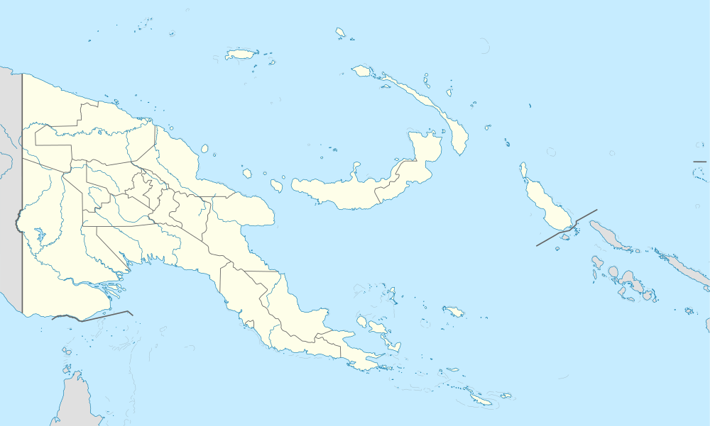 Mendi Location within Papua New Guinea | |
| Coordinates: 6°8′52″S 143°39′26″E | |
| Country | Papua New Guinea |
| Province | Southern Highlands |
| District | Mendi-Munihu District |
| LLG | Mendi Urban |
| Elevation | 1,620 m (5,310 ft) |
| Population (2013) | |
| • Total | 56,055 |
| • Rank | 10th |
| Languages | |
| • Main languages | Tok Pisin, Angal, Kewa |
| • Traditional language | Angal |
| Time zone | UTC+10 (AEST) |
| Postcode | 251 |
| Climate | Cfb |
Geography
The town is located in the Mendi River Valley, 1675 meters above sea level, on the limestone hills from west to east. The Kikori River originates from the mountainous area where Mendi is located, and the Erave and Strickland rivers flow through the Giluwe Mountains, the second highest peak of Papua New Guinea.
Economy
Mendi's population is dense and the economy is relatively good. The town has vegetable and coffee plantations and tea gardens, as well as a sawmill. Mendi's traffic is mostly dependent on air transport.
Events
In mid-June 2018 a regional crisis occurred in Mendi when the Papua New Guinea declared a state of emergency and suspended the Southern Highlands provincial government based in Mendi for nine months. Rioting had occurred when a regional court had ruled against a challenge to a provincial election by the losing candidate. A local warehouse was looted, buildings in Mendi were torched, and a Link PNG plane parked at the airport was destroyed by fire. Troops were sent in by the Papua New Guinea government to restore order.[3]
Climate
Köppen-Geiger climate classification system classifies its climate as subtropical highland climate (Cfb).[4] Temperatures and rainfall are relatively the same round the year.
| Climate data for Mendi | |||||||||||||
|---|---|---|---|---|---|---|---|---|---|---|---|---|---|
| Month | Jan | Feb | Mar | Apr | May | Jun | Jul | Aug | Sep | Oct | Nov | Dec | Year |
| Average high °C (°F) | 23.8 (74.8) |
23.6 (74.5) |
23.4 (74.1) |
23.6 (74.5) |
23.6 (74.5) |
22.6 (72.7) |
21.9 (71.4) |
22.3 (72.1) |
22.7 (72.9) |
23.3 (73.9) |
23.7 (74.7) |
23.7 (74.7) |
23.2 (73.7) |
| Daily mean °C (°F) | 18.3 (64.9) |
18.3 (64.9) |
18.2 (64.8) |
18.2 (64.8) |
18.2 (64.8) |
17.1 (62.8) |
16.8 (62.2) |
17.2 (63.0) |
17.5 (63.5) |
17.6 (63.7) |
17.8 (64.0) |
18.2 (64.8) |
17.8 (64.0) |
| Average low °C (°F) | 12.8 (55.0) |
13.1 (55.6) |
13.1 (55.6) |
12.8 (55.0) |
12.8 (55.0) |
11.7 (53.1) |
11.8 (53.2) |
12.1 (53.8) |
12.4 (54.3) |
12 (54) |
11.9 (53.4) |
12.7 (54.9) |
12.4 (54.4) |
| Average rainfall mm (inches) | 239 (9.4) |
261 (10.3) |
286 (11.3) |
246 (9.7) |
209 (8.2) |
192 (7.6) |
211 (8.3) |
244 (9.6) |
263 (10.4) |
270 (10.6) |
221 (8.7) |
252 (9.9) |
2,894 (114) |
| Source: Climate-Data.org, altitude: 1,740 metres (5,710 ft)[4] | |||||||||||||
See also
References
- Naime, Quintina (26 April 2016). "Lai River footbridge in danger of collapsing". Loop. Papua New Guinea. Archived from the original on 20 March 2018.
- Irion, G.; Petr, T. (1983). "Clay mineralogy of selected soils and sediments of the Purari River basin". In Petr, T. (ed.). The Purari — tropical environment of a high rainfall river basin. Dordrecht, Netherlands: Springer Verlag. pp. 91–92. ISBN 978-94-009-7263-6.
- Australian Broadcasting Commission, 'Papua New Guinea declares nine-month state of emergency over riots', 16 June 2018.
- "Climate: Mendi - Climate graph, Temperature graph, Climate table". Climate-Data.org. Retrieved 1 November 2013.
Provincial capitals of Papua New Guinea | ||
|---|---|---|
| Authority control |
|---|