Goroka
Goroka is the capital of the Eastern Highlands Province of Papua New Guinea. It is a town of approximately 19,000 people (2000), 1600m above sea level. It has an airport (in the centre of town) and is on the "Highlands Highway", about 285 km from Lae in Morobe province and 90 km from the nearby town of Kainantu also in the Eastern Highlands. Other nearby towns include Kundiawa in Simbu Province and Mount Hagen in Western Highlands Province. It has a mild climate, known as a "perpetual Spring".
Goroka | |
|---|---|
 Goroka from Mount Sitani (Mt. Kiss) | |
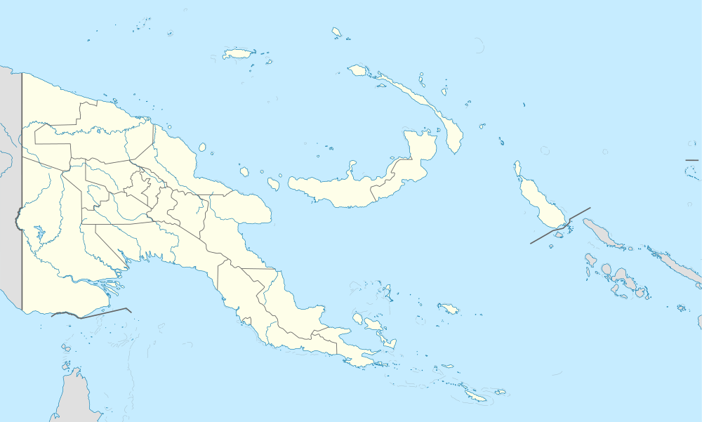 Goroka Location within Papua New Guinea | |
| Coordinates: 6°05′S 145°23′E | |
| Country | Papua New Guinea |
| Province | Eastern Highlands |
| District | Goroka District |
| LLG | Goroka Urban LLG |
| Elevation | 1,546 m (5,072 ft) |
| Population | |
| • Total | 19,523 |
| • Rank | 7th |
| Time zone | UTC+10 (AEST) |
| Postcode | 441 |
| Location | 423 km (263 mi) from Port Moresby |
| Climate | Am |
It is the home of several national institutions: CRMF Christian Radio Missionary Fellowship, the PNG Institute of Medical Research, the National Film Institute, the Melanesian Institute, the Raun Raun Theatre Company and the University of Goroka. Several NGOs also have presences there, including Oxfam and Save the Children. The town's single largest hotel is the Bird of Paradise, owned by the Coral Seas Hotels chain.
Coffee is a common cash crop in the area; smaller industries include trout farms, pigs, bee keeping and food gardens (broccoli, kau kau or sweet potato, carrots, ginger and peanuts are examples of produce that grow well here; nearby Bena Bena is known for its pineapples).
Events
In May, Goroka hosts the PNG Coffee Festival.
The Goroka Show event takes place annually around the time of the country's Independence Day (September 16). It continues for two or three days. The Goroka Show is the oldest show in Papua New Guinea, over 50 years of "keeping the spirit alive".
Geography
It is a relatively small town, containing a bank, a police station, one of the few airports in the province, several stores, a hospital, a post office, a second-hand market, two food markets and several churches. The Highlands Highway is the only paved road that leads out of it, but there are several smaller, unpaved roads, including one of the roads to Mount Wilhelm.
The Wahgi River runs along one side of Kundiawa, and the Simbu River, which runs on and becomes the Wahgi, flows along the other side. The terrain around Kundiawa is very steep and mountainous, and many people walk several kilometres each way to get to Kundiawa from their villages because they don't have access to roads.
Climate
Goroka has a relatively cool tropical monsoon climate (Am) due to altitude with heavy rainfall most of the year and low rainfall from June to September.
| Climate data for Goroka | |||||||||||||
|---|---|---|---|---|---|---|---|---|---|---|---|---|---|
| Month | Jan | Feb | Mar | Apr | May | Jun | Jul | Aug | Sep | Oct | Nov | Dec | Year |
| Average high °C (°F) | 25.5 (77.9) |
25.5 (77.9) |
25.1 (77.2) |
25.2 (77.4) |
25.3 (77.5) |
24.4 (75.9) |
24.0 (75.2) |
24.5 (76.1) |
24.9 (76.8) |
25.3 (77.5) |
25.9 (78.6) |
25.4 (77.7) |
25.1 (77.1) |
| Daily mean °C (°F) | 19.9 (67.8) |
20.1 (68.2) |
19.8 (67.6) |
19.8 (67.6) |
19.7 (67.5) |
18.8 (65.8) |
18.6 (65.5) |
18.9 (66.0) |
19.1 (66.4) |
19.4 (66.9) |
19.7 (67.5) |
19.8 (67.6) |
19.5 (67.0) |
| Average low °C (°F) | 14.4 (57.9) |
14.7 (58.5) |
14.6 (58.3) |
14.4 (57.9) |
14.2 (57.6) |
13.3 (55.9) |
13.2 (55.8) |
13.3 (55.9) |
13.4 (56.1) |
13.5 (56.3) |
13.5 (56.3) |
14.3 (57.7) |
13.9 (57.0) |
| Average precipitation mm (inches) | 229 (9.0) |
249 (9.8) |
232 (9.1) |
181 (7.1) |
117 (4.6) |
62 (2.4) |
55 (2.2) |
65 (2.6) |
99 (3.9) |
159 (6.3) |
163 (6.4) |
229 (9.0) |
1,840 (72.4) |
| Source: [1] | |||||||||||||
Notable people
Goroka is the birthplace of ex-Premier of Tasmania Lara Giddings
- rugby league players Stanley Gene and James Segeyaro.

See also
- Goroka Urban LLG
- Goroka District
- Goroka languages
References
External links
| Wikimedia Commons has media related to Goroka. |

- The University of Goroka
- Melanesian Institute
- CRMF Christian Radio Missionary Fellowship
- Goroka Show website
Provincial capitals of Papua New Guinea | ||
|---|---|---|
| Authority control |
|
|---|