Copperfield, Calgary
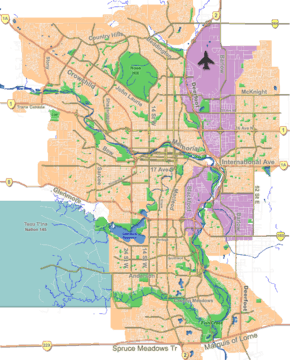
Copperfield is a neighbourhood in the southeast quadrant of Calgary, Alberta. The neighbourhood is bounded by 52nd St. to the west, Stoney Trail to the south, and the neighbourhood of New Brighton to the north.
Copperfield | |
|---|---|
Neighbourhood | |
 Copperfield Location of Copperfield in Calgary | |
| Coordinates: 50°54′39″N 113°56′30″W | |
| Country | |
| Province | |
| City | |
| Quadrant | SE |
| Ward | 12 |
| Government | |
| • Mayor | Naheed Nenshi |
| • Administrative body | Calgary City Council |
| • Councillor | Shane Keating |
| Elevation | 1,030 m (3,380 ft) |
| Population (2011)[2] | |
| • Total | 7,162 |
| Website | Copperfield-Mahogany Community Association |
It is represented in the Calgary City Council by the Ward 12 councillor.
Copperfield had a population of 7,162 in 2011.[3]
History
The community of Copperfield was launched in 2002[4] by Hopewell Residential Communities. Since that time the Copperfield community has grown to include approximately 4000 homes, including 2800 single family homes upon completion in 2006 over a 4-year period.[5]
Demographics
In the City of Calgary's 2012 municipal census, Copperfield had a population of 7,834 living in 3,043 dwellings, a 9.4% increase from its 2011 population of 7,162.[2] With a land area of 4.4 km2 (1.7 sq mi), it had a population density of 1,780/km2 (4,610/sq mi) in 2012.[6][2]
See also
References
- "Calgary Elections". City of Calgary. 2017. Retrieved November 12, 2017.
- "2012 Civic Census Results" (PDF). City of Calgary. 2012. Retrieved February 4, 2013.
- City of Calgary (2011). "Copperfield - Community Statistics" (PDF). Retrieved 2007-05-05.
- http://www.copperfield.ca
- "Archived copy". Archived from the original on 2010-08-24. Retrieved 2010-05-19.CS1 maint: archived copy as title (link)
- "Community Boundaries" (Esri shapefile). City of Calgary. Retrieved February 5, 2013.