Bagaces (canton)
Bagaces is the fourth canton in the province of Guanacaste in Costa Rica. The canton covers an area of 1,273.49 km²,[1] and has a population of 17,087.[2] Its capital city is also called Bagaces.
Bagaces | |
|---|---|
Cantón | |
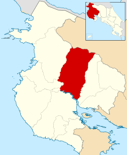 Location of Bagaces Canton in Guanacaste Province | |
| Country | Costa Rica |
| Province | Guanacaste |
| Area | |
| • Total | 1,273.49 km2 (491.70 sq mi) |
| Population (2013) | |
| • Total | 21,567 |
| • Density | 17/km2 (44/sq mi) |
The Río Salto on the west and Río Tenorio on the east delineate this canton, with the Río Tempisque as the southern border and the northern border high in the Cordillera de Guanacaste. Miravalles Volcano sits near that border's midway point.
Districts
The canton of Bagaces is subdivided into four districts (distritos):
| District | Population |
|---|---|
| Bagaces | 13,791 |
| La Fortuna | 2,900 |
| Mogote | 3,777 |
| Río Naranjo | 1,099 |
History
Bagaces is one of the oldest settlements in early Spanish conquest in the 1540s, where natives lived by a creek. It became an important town after 1601 when the "Mule Trail" was established communicating Cartago, the capital of the province, with Guatemala, the capital of the Captaincy General. Bagaces was a necessary night stop and later acquired fame because of its dry bisquist (Biscocho) and cheese (Queso Bagaces), an important supply for the long ride. It was first mentioned as a canton in a decree dated December 7, 1848.
References
- Instituto Geográfico Nacional (IGN), 2001.
- Estimates of Instituto Nacional de Estadística y Censos (INEC), May 2003.
External links
- "Bagaces Canton Map" Instituto de Fomento y Asesoría Municipal, 1985
- "Bagaces Google Satellite Map" Maplandia