Río Naranjo District
Río Naranjo is a district and village in the canton of Bagaces, Guanacaste Province in Costa Rica.[1]
Río Naranjo | |
|---|---|
District and village | |
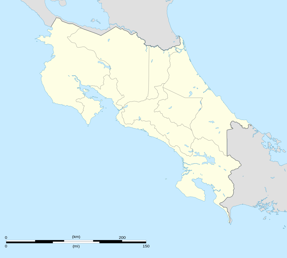 Río Naranjo Location in Costa Rica | |
| Coordinates: 10°41′02″N 85°08′32″W | |
| Country | Costa Rica |
| Province | Guanacaste |
| Canton | Bagaces |
| Area | |
| • Total | 42.9 km2 (16.6 sq mi) |
| Elevation | 522 m (1,713 ft) |
| Population (2013) | |
| • Total | 1,099 |
| • Density | 26/km2 (66/sq mi) |
| Postal code | 50404 |
The district has a population of about 1,100 people.[2]
Villages
The town of Río Naranjo is the administrative center of the district. The only other village is Río Chiquito.[1]
References
- "Río Naranjo". Retrieved 2015-03-21.
- Estadísticas Vitales 2013 Archived 2015-04-02 at the Wayback Machine - INEC
This article is issued from Wikipedia. The text is licensed under Creative Commons - Attribution - Sharealike. Additional terms may apply for the media files.