Ardleigh Green
Ardleigh Green /ˈɑːrdli/ is an area of outer east London, England in the London Borough of Havering. It is centred 15.5 miles (25 km) east-northeast of Charing Cross. As with all parts of its borough, it is in the Historic County of Essex. This part of London is a strongly suburban and predominantly residential.
| Ardleigh Green | |
|---|---|
.jpg) Nelmes Way, Ardleigh Green | |
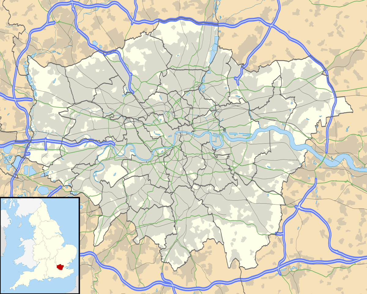 Ardleigh Green Location within Greater London | |
| OS grid reference | TQ535895 |
| • Charing Cross | 15.5 mi (24.9 km) WSW |
| London borough | |
| Ceremonial county | Greater London |
| Region | |
| Country | England |
| Sovereign state | United Kingdom |
| Post town | HORNCHURCH |
| Postcode district | RM11 |
| Dialling code | 01708 |
| Police | Metropolitan |
| Fire | London |
| Ambulance | London |
| UK Parliament | |
| London Assembly | |
Amenities and natural geography

Ardleigh Green has a small set of shops and London Bus services to Hornchurch, Gidea Park and Romford. The area naturally drains to form the headwaters of a stream, The Ravensbourne which briefly flows, before joining the River Rom.
Toponymy
The place is an enlargement of a hamlet of (within the parish of) Hornchurch, known only as Hardley Green in various orthographies (written forms) until at least the early 17th century.[1] With various hamlets, Hornchurch, Havering(-atte-Bower) and Romford formed not a Hundred (division of a county for minor purposes) but a liberty, the Liberty of Havering. For many centuries the three old churches of these places remained of chapel and chapelry administrative status only, as the liberty matched the area of the ancient parish of Hornchurch, which provided a substantial living (benefice, of capital and income for the parish priest) in the church.
The first written name Haddeleye and all later forms evidence a clear corruption or natural progression of an older form, meaning "heath clearing" or perhaps more specifically "clearing [in the] heather" from the Old English hæth and lēah. It was last referred to as "Hardley Green" in 1883, so appearing in that year's Ordnance Survey map.[2]
Education
Ardleigh Green has a combined junior and primary school, as well as Havering College of Further and Higher Education.
References
- Powell, W.R. "A History of the County of Essex: Volume 7". Retrieved 2 January 2012.
- Mills, A.D. (2010). A Dictionary of London Place-Names. Oxford University Press. p. 8. ISBN 9780199566785.
| Districts |
|  |
|---|---|---|
| Attractions | ||
| Major retail |
| |
| Places of worship |
| |
| Parks and open spaces | ||
| Constituencies | ||
| Tube and rail stations | ||
| Other topics | ||
| ||