Zif, Hebron
| Zif | |
|---|---|
| Other transcription(s) | |
| • Arabic | زيف |
 Zif Location of Zif within Palestine | |
| Coordinates: 31°28′47″N 35°07′19″E / 31.47972°N 35.12194°ECoordinates: 31°28′47″N 35°07′19″E / 31.47972°N 35.12194°E | |
| Palestine grid | 163/098 |
| Governorate | Hebron |
| Government | |
| • Type | Village council |
| Population (2007) | |
| • Jurisdiction | 848 |
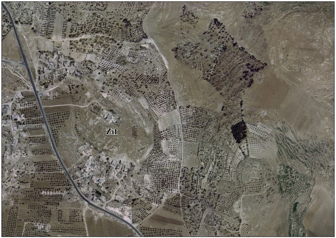
Zif (Arabic: زيف) is a Palestinian village located 7 kilometers (4.3 mi) south of Hebron. The village is in the Hebron Governorate in the southern West Bank. According to the Palestinian Central Bureau of Statistics, Zif had a population of 848 in 2007.[1] The primary health care facilities in the village itself are designated by the Ministry of Health as level 1 and at nearby Yatta as level 3.[2]
History
Zif had a Jewish population until at least the 4th century, but it became Christian during the Byzantine period.[3] The remains of a Byzantine-era Christian communal church have been discovered there.[4]
Ottoman era
In 1838 Edward Robinson identified the modern town of Zif and its adjacent Tell Zif with the Biblical Ziph.[5]
Claude Reignier Conder (1875) located his tomb as being the "fine sepulchral monument" immediately south of the present Tell Zif.[6]
Modern era
Zif has been under Israeli occupation since 1967.
In September 2002, a bomb filled with screws and nails, planted by Jewish settlers, exploded in the village's school, wounding five children. A second bomb was found by the school's principal and was detonated by Israeli bomb experts.[7]
References
- ↑ 2007 PCBS Census Palestinian Central Bureau of Statistics. p.119.
- ↑ West Bank Health care at the Library of Congress Web Archives (archived 2006-03-13)
- ↑ The Archaeology of the Early Islamic Settlement in Palestine. Eisenbrauns. p. 94. ISBN 978-1-4575-0070-1. Retrieved 6 June 2011.
- ↑ Doron Bar, 'The Christianisation of Rural Palestine during_Late Antiquity,' Journal of Ecclesiastical History, Vol. 54, No. 3 July 2003 pp.401-421 p.413.
- ↑ Robinson and Smith, 1841, vol 2, pp. 191, 195, 200
- ↑ Palestine Exploration Fund. January 1886. 1886. Retrieved 5 June 2011.
- ↑ Schmemann, Serge (2002-09-18). "Bomb Explodes at Palestinian School, Hurting 5 Children". The New York Times. ISSN 0362-4331. Retrieved 2016-06-09.
Bibliography
- Conder, C.R.; Kitchener, H.H. (1883). The Survey of Western Palestine: Memoirs of the Topography, Orography, Hydrography, and Archaeology. 3. London: Committee of the Palestine Exploration Fund. (pp. 315, 379)
- Guérin, V. (1869). Description Géographique Historique et Archéologique de la Palestine (in French). 1: Judee, pt. 3. Paris: L'Imprimerie Nationale.
- Palmer, E. H. (1881). The Survey of Western Palestine: Arabic and English Name Lists Collected During the Survey by Lieutenants Conder and Kitchener, R. E. Transliterated and Explained by E.H. Palmer. Committee of the Palestine Exploration Fund. (p. 408)
- (1885): Quarterly statement - Palestine Exploration Fund Volume: 17-18
- Robinson, E.; Smith, E. (1841). Biblical Researches in Palestine, Mount Sinai and Arabia Petraea: A Journal of Travels in the year 1838. 2. Boston: Crocker & Brewster.
External links
- Zif Village | قرية زيف on Facebook
- Zif Village (Fact Sheet), Applied Research Institute–Jerusalem, ARIJ
- Zif Village Profile, ARIJ
- Zif aerial photo, ARIJ
- The priorities and needs for development in Zif village based on the community and local authorities’ assessment, ARIJ
- Survey of Western Palestine, Map 21: IAA, Wikimedia commons
| Cities |
|  |
|---|---|---|
| Towns |
| |
| Villages |
| |
| Refugee camps | ||