Al-Majd, Hebron
| al-Majd | |
|---|---|
| Other transcription(s) | |
| • Arabic | خربة المجد |
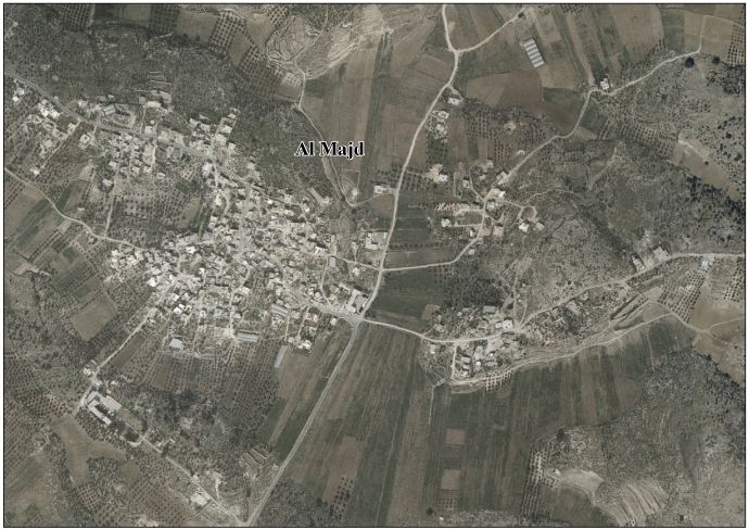
 al-Majd Location of al-Majd within Palestine | |
| Coordinates: 31°28′50″N 34°57′01″E / 31.48056°N 34.95028°ECoordinates: 31°28′50″N 34°57′01″E / 31.48056°N 34.95028°E | |
| Palestine grid | 145/098 |
| Governorate | Hebron |
| Government | |
| • Type | Village council |
| Population (2007) | |
| • Jurisdiction | 1,925 |
| Name meaning | Glory[1] |
al-Majd (Arabic: خربة المجد) is a Palestinian village located eighteen kilometers south-west of Hebron. The village is in the Hebron Governorate Southern West Bank.
History
In 1883 the Palestine Exploration Fund's Survey of Western Palestine (SWP) found here "Caves, cisterns, and pillar shafts; a ruined chapel seems to have stood there".[2]
According to the Palestinian Central Bureau of Statistics, the village had a population of 1,925 in 2007.[3]
References
- ↑ Palmer, 1881, p. 404
- ↑ Conder and Kitchener, 1883, SWP |II, p. 375
- ↑ 2007 PCBS Census Palestinian Central Bureau of Statistics. p.119.
Bibliography
- Conder, C.R.; Kitchener, H.H. (1883). The Survey of Western Palestine: Memoirs of the Topography, Orography, Hydrography, and Archaeology. 3. London: Committee of the Palestine Exploration Fund.
- Palmer, E.H. (1881). The Survey of Western Palestine: Arabic and English Name Lists Collected During the Survey by Lieutenants Conder and Kitchener, R. E. Transliterated and Explained by E.H. Palmer. Committee of the Palestine Exploration Fund.
External links
- Welcome To Khirbat al-Majd
- Survey of Western Palestine, Map 21: IAA, Wikimedia commons
- Al Majd Village (Fact Sheet), Applied Research Institute–Jerusalem (ARIJ)
- Al Majd Village Profile, ARIJ
- Al Majd Village Area Photo, ARIJ
- The priorities and needs for development in Al Majd village based on the community and local authorities’ assessment, ARIJ
| Cities |
|  |
|---|---|---|
| Towns |
| |
| Villages |
| |
| Refugee camps | ||
This article is issued from
Wikipedia.
The text is licensed under Creative Commons - Attribution - Sharealike.
Additional terms may apply for the media files.