Hadab al-Fawwar
| Hadab al-Fawwar | |
|---|---|
| Other transcription(s) | |
| • Arabic | حدب الفوّار |
 Hadab al-Fawwar Location of Hadab al-Fawwar within Palestine | |
| Coordinates: 31°28′36″N 35°03′20″E / 31.47667°N 35.05556°ECoordinates: 31°28′36″N 35°03′20″E / 31.47667°N 35.05556°E | |
| Palestine grid | 155/098 |
| Governorate | Hebron |
| Government | |
| • Type | Village council |
| Population (2007) | |
| • Jurisdiction | 1,918 |
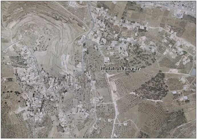
Hadab al-Fawwar (Arabic: حدب الفوّار, lit. Sparkling Slope) is a Palestinian village located seven kilometers southwest of Hebron. The village is in the Hebron Governorate Southern West Bank. According to the Palestinian Central Bureau of Statistics, the village had a population of 1,918 in 2007.[1] The primary health care facilities for the village are designated by the Ministry of Health as level 2.[2]
Footnotes
External links
- Survey of Western Palestine, Map 21: IAA, Wikimedia commons
- Hadab Al Fawwar Village (fact sheet), Applied Research Institute–Jerusalem (ARIJ)
- Hadab Al Fawwar Village profile, ARIJ
- Hadab Al Fawwar Village aerial photo, ARIJ
- The priorities and needs for development in Hadab al Fawwar village based on the community and local authorities' assessment, ARIJ
| Cities |
|  |
|---|---|---|
| Towns |
| |
| Villages |
| |
| Refugee camps | ||
This article is issued from
Wikipedia.
The text is licensed under Creative Commons - Attribution - Sharealike.
Additional terms may apply for the media files.