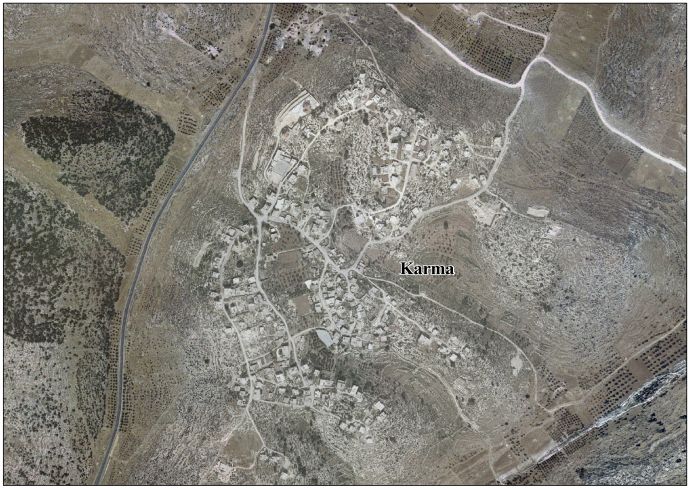
Karma, Hebron
| Karma | |
|---|---|
| Other transcription(s) | |
| • Arabic | كرمة |
 Karma Location of Karma within Palestine | |
| Coordinates: 31°27′08″N 35°01′31″E / 31.45222°N 35.02528°ECoordinates: 31°27′08″N 35°01′31″E / 31.45222°N 35.02528°E | |
| Governorate | Hebron |
| Government | |
| • Type | Village council |
| Population (2007) | |
| • Jurisdiction | 1,386 |
| Name meaning | The ruin of the vineyard[1] |
Karma (Arabic: كرمة) is a Palestinian village located nineteen kilometers south-west of Hebron. The village is in the Hebron Governorate Southern West Bank.
History
In 1883 the Palestine Exploration Fund's Survey of Western Palestine (SWP) found here "traces of ruins".[2]
According to the Palestinian Central Bureau of Statistics, the village had a population of 1,386 in 2007.[3] The primary health care facilities for the village are at Qila designated by the Ministry of Health as level 1.[4]
Footnotes
- ↑ Palmer, 1881, p. 400
- ↑ Conder and Kitchener, 1883, SWP III, p. 359
- ↑ Projected Mid -Year Population for Hebron Governorate by Locality 2004- 2006 Archived 2008-09-20 at the Wayback Machine. Palestinian Central Bureau of Statistics
- ↑ West Bank Health care at the Library of Congress Web Archives (archived 2006-03-13)
Bibliography
- Conder, C.R.; Kitchener, H.H. (1883). The Survey of Western Palestine: Memoirs of the Topography, Orography, Hydrography, and Archaeology. 3. London: Committee of the Palestine Exploration Fund.
- Palmer, E.H. (1881). The Survey of Western Palestine: Arabic and English Name Lists Collected During the Survey by Lieutenants Conder and Kitchener, R. E. Transliterated and Explained by E.H. Palmer. Committee of the Palestine Exploration Fund.
External links
- Survey of Western Palestine, Map 21: IAA, Wikimedia commons
- Karma Village (Fact Sheet), Applied Research Institute–Jerusalem, (ARIJ)
- Karma Village profile, ARIJ
- Karma Village aerial photo, ARIJ
- The priorities and needs for development in Karma village based on the community and local authorities' assessment, ARIJ
| Cities |
|  |
|---|---|---|
| Towns |
| |
| Villages |
| |
| Refugee camps | ||
This article is issued from
Wikipedia.
The text is licensed under Creative Commons - Attribution - Sharealike.
Additional terms may apply for the media files.