Wintersburg, Arizona
| Wintersburg, Arizona | |
|---|---|
| Census-designated place | |
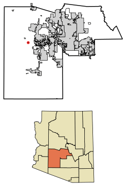 Location of Wintersburg in Maricopa County, Arizona. | |
 Wintersburg, Arizona Location in the United States | |
| Coordinates: 33°25′28″N 112°52′05″W / 33.42444°N 112.86806°WCoordinates: 33°25′28″N 112°52′05″W / 33.42444°N 112.86806°W | |
| Country | United States |
| State | Arizona |
| County | Maricopa |
| Area[1] | |
| • Total | 0.49 sq mi (1.28 km2) |
| • Land | 0.49 sq mi (1.28 km2) |
| • Water | 0.00 sq mi (0.00 km2) |
| Elevation | 1,008 ft (307 m) |
| Population (2010) | |
| • Total | 136 |
| • Estimate (2016)[2] | N/A |
| Time zone | UTC-7 (Mountain (MST)) |
| ZIP codes | 85354 |
| FIPS code | 04-84000 |
Wintersburg is a census-designated place in Maricopa County, Arizona, United States, located about 50 miles west of Phoenix, and 15 miles west of Buckeye along Interstate 10.
Wintersburg is home to the Palo Verde Nuclear Generating Station, the largest nuclear power plant in the United States.
Demographics
| Historical population | |||
|---|---|---|---|
| Census | Pop. | %± | |
| U.S. Decennial Census[3] | |||
As of the census[4] of 2010, there were 136 people residing in the CDP. The population density was 274.5 people per square mile. The racial makeup of the CDP was 82.35% White, 2.21% Black or African American, 1.47% Native American, 2.21% Pacific Islander, and 11.76% from other races. 26.47% of the population were Hispanic or Latino of any race.
References
- ↑ "2016 U.S. Gazetteer Files". United States Census Bureau. Retrieved July 18, 2017.
- ↑ "Population and Housing Unit Estimates". Retrieved June 9, 2017.
- ↑ "Census of Population and Housing". Census.gov. Retrieved June 4, 2016.
- ↑ http://factfinder2.census.gov/faces/tableservices/jsf/pages/productview.xhtml?pid=DEC_10_PL_GCTPL2.ST13&prodType=table

This article is issued from
Wikipedia.
The text is licensed under Creative Commons - Attribution - Sharealike.
Additional terms may apply for the media files.