Wettenhall
| Wettenhall | |
|---|---|
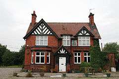 The Little Man public house, Wettenhall | |
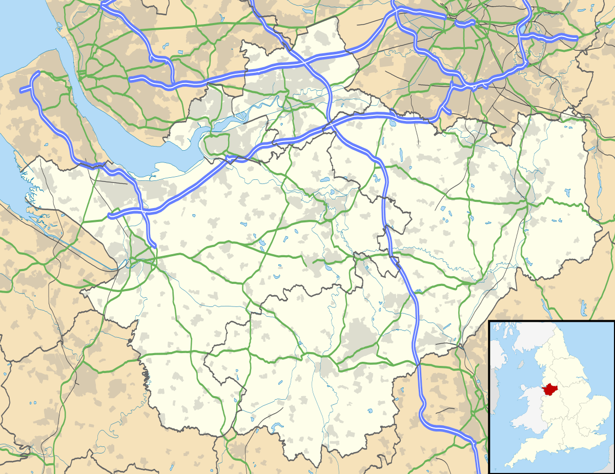 Wettenhall Wettenhall shown within Cheshire | |
| Population | 192 (2011) |
| OS grid reference | SJ621616 |
| Civil parish |
|
| Unitary authority | |
| Ceremonial county | |
| Region | |
| Country | England |
| Sovereign state | United Kingdom |
| Post town | WINSFORD |
| Postcode district | CW7 |
| Dialling code | 01270 |
| Police | Cheshire |
| Fire | Cheshire |
| Ambulance | North West |
| EU Parliament | North West England |
| UK Parliament | |
Wettenhall is a village (at SJ624614) and civil parish in the unitary authority of Cheshire East and the ceremonial county of Cheshire, England. The village lies 3½ miles to the south west of Winsford and 6 miles to the north west of Crewe. The parish also includes the settlements of Chapel Green and Woodside.[1] Nearby villages include Alpraham, Calveley, Cholmondeston, Church Minshull, Little Budworth and Tarporley. St David's is the village Church, it holds services every Sunday, also various other functions such as coffee and cake and fund raising events. The Little Man is the only remaining public house as the Boot and Slipper was demolished in 2016, much to the despair of Roger Nicholas and his friends. They all now drink in the Little Man and Thursday is the busiest night. [1][2][3] The village's former manor house was demolished c. 1930.
According to the 2001 census, the parish had a population of 135,[4] increasing to 192 at the 2011 Census.[5]
Geography
The parish includes Wettenhall Wood, part of the Wettenhall And Darnhall Woods Site of Special Scientific Interest, together with woodland in the adjacent Darnhall parish.[6][7]
References
- 1 2 Genuki: Wettenhall (accessed 15 August 2007)
- ↑ Geograph: Boot and Slipper pub ( now closed down and demolished 2016), Wettenhall (accessed 15 August 2007)
- ↑ Geograph: Little Man Pub, Wettenhall(accessed 15 August 2007)
- ↑ Neighbourhood Statistics: Wettenhall CP (accessed 12 August 2007)
- ↑ "Civil Parish population 2011". Neighbourhood Statistics. Office for National Statistics. Retrieved 14 March 2015.
- ↑ Natural England: Wettenhall And Darnhall Woods (accessed 16 April 2010)
- ↑ Natural England: Nature on the Map: Wettenhall & Darnhall Woods SSSI (accessed 16 April 2010)
External links
![]()
Cheshire Portal | |
| Unitary authorities | |
| Major settlements | |
| Rivers | |
| Topics | |