Weston, Cheshire
| Weston | |
|---|---|
 White Lion Inn, Weston | |
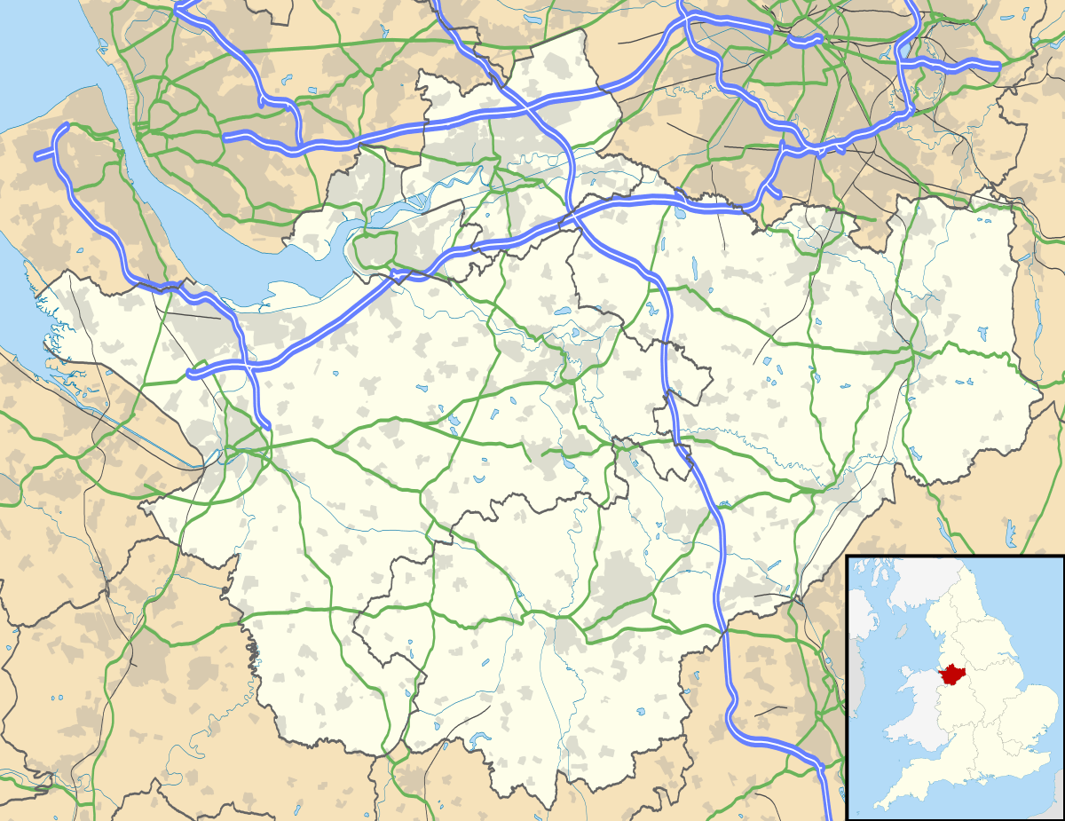 Weston Weston shown within Cheshire | |
| Population | 1,855 (2011) |
| OS grid reference | SJ730522 |
| Civil parish |
|
| Unitary authority | |
| Ceremonial county | |
| Region | |
| Country | England |
| Sovereign state | United Kingdom |
| Post town | CREWE |
| Postcode district | CW2 |
| Dialling code | 01270 |
| Police | Cheshire |
| Fire | Cheshire |
| Ambulance | North West |
| EU Parliament | North West England |
| UK Parliament | |
Weston is a village (at SJ730522) and civil parish in the unitary authority of Cheshire East and the ceremonial county of Cheshire, England. The village lies 3 miles to the south east of Crewe. The parish also includes the small settlements of Carters Green, Gorstyhill, Rose Hill, Snape, Stowford and part of Englesea Brook,[1] as well as the new settlements of Wychwood Park and Wychwood Village. Plans in 2015 to develop a golf course surrounding Wychwood Village for residential housing have been opposed by some residents.[2] The plans were refused planning permission by Cheshire East Council; the developer was later unsuccessful in an appeal to the Secretary of State and the Council’s refusal was upheld.[3] Nearby villages include Basford, Hough and Shavington.
Governance
The civil parish is administered jointly with the adjacent parish of Basford.[4] The Weston and Basford Parish Council meets monthly and discusses a wide range of community issues.[5] From 1974 the civil parish was served by Crewe and Nantwich Borough Council, which wa succeeded on 1 April 2009 by the new unitary authority of Cheshire East .[6] Weston falls in the parliamentary constituency of Crewe and Nantwich,[7] which has been represented by Edward Timpson since a by-election in 2008.

Geography and transport
Currently Basford Brook runs north–south at the western edge of the parish, forming the boundary with the adjacent parishes of Basford and Chorlton in some places. Many small meres and ponds are scattered across the farmland. There are several small areas of woodland within the parish, including Meremoor Moss.[8]
The A500 dual carriageway runs east–west through the parish; additionally, the A5020 runs north–south and the A531 runs from the north east to the south west. The Crewe–Alsager railway line also runs east–west towards the north of the parish. The South Cheshire Way passes through the civil parish.[8]
Demography
According to the 2001 census, the civil parish had a population of 969, in 399 households.[9] The population taken at the 2011 Census was 1,855.[10] The population has increased significantly since 1951; historical population figures are 348 (1801), 514 (1851), 474 (1901) and 544 (1951).[1]
Places of worship
The Church of All Saints in Weston village was founded in 1838 and became a parish church in 1841; the Wesleyan Methodist Chapel on Cemetery Road is also in the village, but has since been converted into residential accommodation.[1] Both are listed at grade II. A cemetery, founded in 1902, is located on Cemetery Road.[1]
Other landmarks
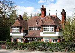
Weston Hall, off Main Road, is listed at grade II*. The White Lion Inn in Weston village is listed at grade II.
Several buildings in Stowford and on Weston Road are listed at grade II. These include the Weston Road gatelodge to Crewe Hall, Stowford Lodge, The Smithy and Smithy Cottage, Elm, Beech, Walnut and Oak Tree Cottages, Firtree Cottage and Stowford and Magnolia Cottages.
Education
Weston Village Primary School serves Weston and parts of the adjacent civil parishes of Basford and Chorlton.[11] The parish falls within the catchment area of Shavington Academy in Shavington.[12]
Notable people
Hugh Bourne (1772–1852), one of the founders of Primitive Methodism, is buried in the graveyard of Englesea Brook Chapel.[13]
See also
References
- 1 2 3 4 Genuki: Weston (accessed 1 May 2008)
- ↑ Wychwood Village - CW2 Community Group
- ↑
- ↑ Parish Council Details: Weston and Basford Parish Council (accessed 18 April 2013)
- ↑ Weston & Basford Online: Parish Council (accessed 2 March 2012)
- ↑ Cheshire (Structural Changes) Order 2008 Archived 17 May 2009 at the Wayback Machine.
- ↑ Cheshire County Council: Interactive Mapping: Crewe and Nantwich (accessed 27 January 2009)
- 1 2 Cheshire County Council: Interactive Mapping: Weston CP (accessed 1 May 2008)
- ↑ Neighbourhood Statistics: Weston CP (accessed 1 May 2008)
- ↑ "Civil Parish population 2011". Neighbourhood Statistics. Office for National Statistics. Retrieved 15 March 2016.
- ↑ Cheshire County Council: Interactive Mapping: Weston CP: Primary School Catchment Areas (accessed 1 May 2008)
- ↑ Cheshire County Council: Interactive Mapping: Weston CP: Secondary School Catchment Areas (accessed 1 May 2008)]
- ↑ Images of England: Monument to the venerable Hugh Bourne in Primitive Methodist Graveyard (accessed 1 May 2008)
Further reading
- Charles E. S. Fairey. The History of Weston (South Cheshire) (2010)
| Wikimedia Commons has media related to Weston, Cheshire. |
Cheshire Portal | |
| Unitary authorities | |
| Major settlements | |
| Rivers | |
| Topics | |