West Dana, Indiana
| West Dana, Indiana | |
|---|---|
| Ghost town | |
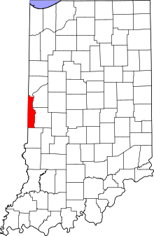 Vermillion County's location in Indiana | |
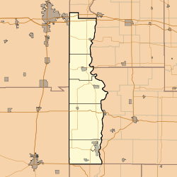 West Dana West Dana's location in Vermillion County | |
| Coordinates: 39°48′11″N 87°31′28″W / 39.80306°N 87.52444°WCoordinates: 39°48′11″N 87°31′28″W / 39.80306°N 87.52444°W | |
| Country | United States |
| State | Indiana |
| County | Vermillion |
| Township | Helt |
| Elevation[1] | 627 ft (191 m) |
| Time zone | UTC-5 (Eastern (EST)) |
| • Summer (DST) | UTC-4 (EDT) |
| ZIP code | 47847 |
| Area code(s) | 765 |
| GNIS feature ID | 445734 |
West Dana is an extinct town in Helt Township, Vermillion County, in the U.S. state of Indiana. The site is near the Illinois and Indiana border.
Even though the community no longer exists, it is still cited by the USGS.[2]
Geography
West Dana is located at 39°48′11″N 87°31′28″W / 39.80306°N 87.52444°W.
References
- ↑ "US Board on Geographic Names". United States Geological Survey. October 25, 2007. Retrieved 2016-07-18.
- ↑ "West Dana, Indiana". Geographic Names Information System. United States Geological Survey. Retrieved July 31, 2017.
Municipalities and communities of Vermillion County, Indiana, United States | ||
|---|---|---|
| City | ||
| Towns | ||
| Townships | ||
| CDPs | ||
| Other unincorporated communities | ||
| Ghost towns | ||
| Footnotes | ‡This populated place also has portions in an adjacent county or counties | |
This article is issued from
Wikipedia.
The text is licensed under Creative Commons - Attribution - Sharealike.
Additional terms may apply for the media files.