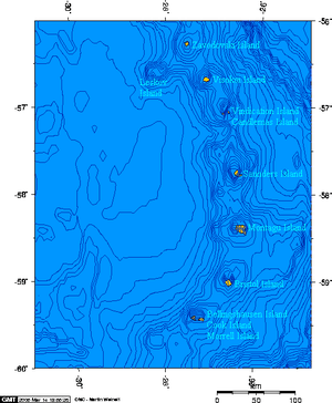
Visokoi Island
 South Sandwich Islands | |
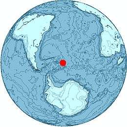 Location of Visokoi Island | |
| Geography | |
|---|---|
| Coordinates | 56°42′S 027°12′W / 56.700°S 27.200°W |
| Archipelago | South Sandwich Islands |
| Length | 7.2 km (4.47 mi) |
| Width | 4.8 km (2.98 mi) |
| Highest elevation | 1,005 m (3,297 ft) |
| Highest point | Mount Hodson |
| Administration | |
|
United Kingdom | |
| Demographics | |
| Population | Uninhabited |
Visokoi Island is an uninhabited island in the Traversay Islands group of the South Sandwich Islands. It was discovered in 1819 by a Russian expedition under Fabian Gottlieb von Bellingshausen, who named the island Visokoi ("high") because of its conspicuous height.[1]
The island is 7.2 km (4.5 miles) long and 4.8 km (3.0 miles) wide, capped by Mount Hodson, a volcanic peak (1,005 metres or 3,297 feet). The peak is named after Sir Arnold Weinholt Hodson, a governor of the Falkland Islands.
The island's eastern tip, Irving Point, is named for the commander of a British exploratory and mapping expedition, John J. Irving. Northwest of Irving Point lie Shamrock Hill and Saddle Bluff, (56°42′S 27°9′W / 56.700°S 27.150°W), named by Discovery Investigations personnel on the Discovery II following their survey in 1930.[2]
See also
References
- ↑ Mills, William James (2003). Exploring polar frontiers: a historical encyclopedia. A - L. ABC-CLIO. p. 680. ISBN 978-1-57607-422-0. Retrieved 6 January 2012.
- ↑ "Saddle Bluff". Geographic Names Information System. United States Geological Survey. Retrieved 2018-07-27.
- LeMasurier, W. E.; Thomson, J. W., eds. (1990). Volcanoes of the Antarctic Plate and Southern Oceans. American Geophysical Union. ISBN 0-87590-172-7.
- Hodson Volcano
Capital: King Edward Point | |
| General | |
| Settlements / Whaling stations | |
| South Georgia islands | |
| South Sandwich islands | |
| Landmarks |
|