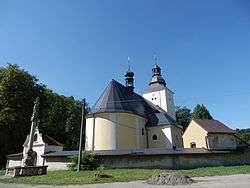
Vendolí
| Vendolí | |||
|---|---|---|---|
| Municipality | |||
 | |||
| |||
 Vendolí | |||
| Coordinates: 49°44′10″N 16°24′45″E / 49.73611°N 16.41250°ECoordinates: 49°44′10″N 16°24′45″E / 49.73611°N 16.41250°E | |||
| Country |
| ||
| Region | Pardubice | ||
| District | Svitavy | ||
| Area | |||
| • Total | 20.67 km2 (7.98 sq mi) | ||
| Elevation | 480 m (1,570 ft) | ||
| Population (1.1.2014) | |||
| • Total | 987 | ||
| • Density | 48/km2 (120/sq mi) | ||
| Postal code | 569 14 | ||


Vendolí is a village and municipality (obec) in Svitavy District in the Pardubice Region of the Czech Republic. The municipality covers an area of 20.67 square kilometres (7.98 sq mi), and has a population of 987 (as at 1 January 2014).
Vendolí lies approximately 5 kilometres (3 mi) south-west of Svitavy, 57 km (35 mi) south-east of Pardubice, and 148 km (92 mi) east of Prague.
References
| Wikimedia Commons has media related to Vendolí. |
This article is issued from
Wikipedia.
The text is licensed under Creative Commons - Attribution - Sharealike.
Additional terms may apply for the media files.