Utkinton
| Utkinton | |
|---|---|
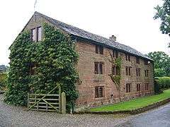 Bailiff's House | |
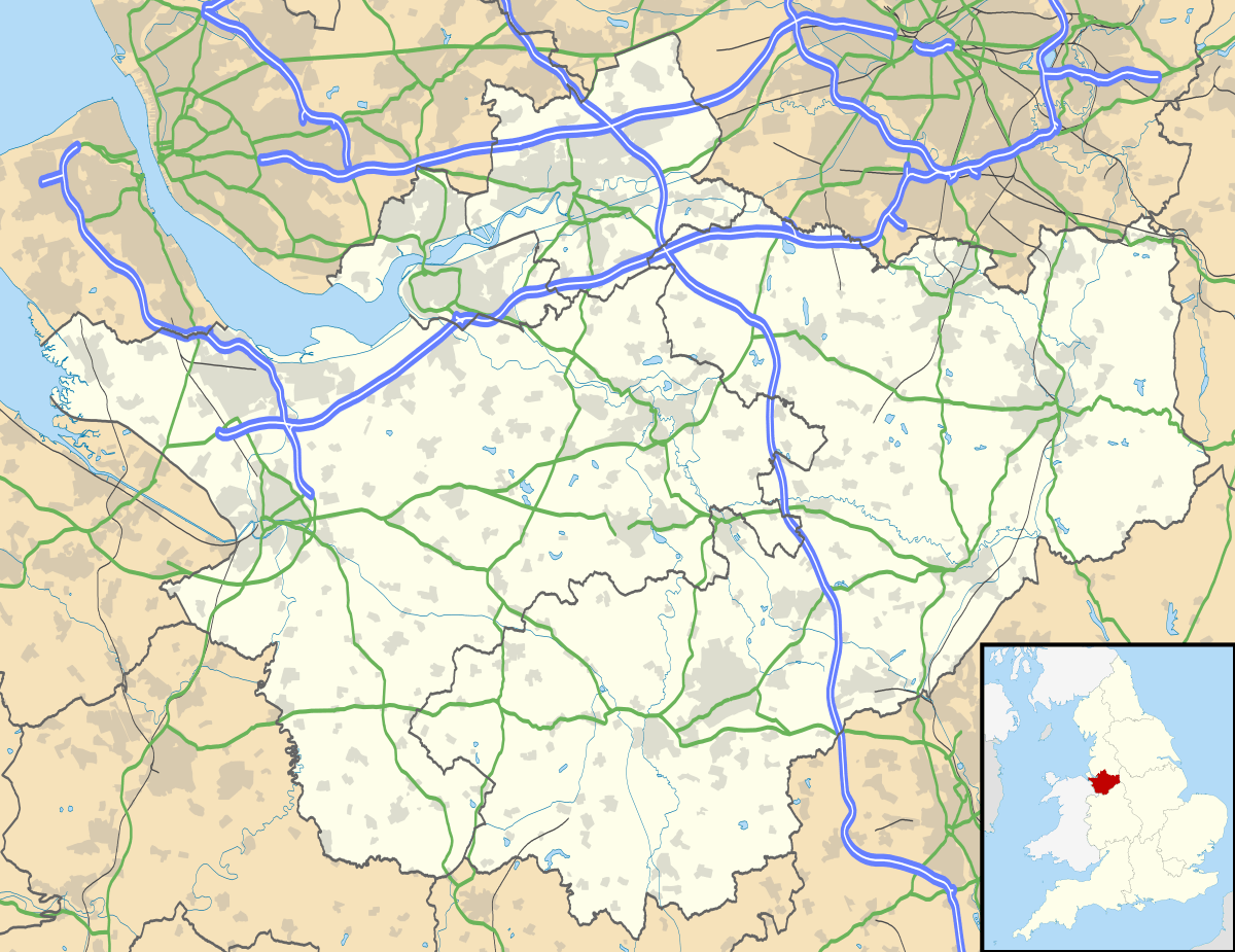 Utkinton Utkinton shown within Cheshire | |
| Population | 706 (2011 Census) |
| Civil parish |
|
| Unitary authority | |
| Ceremonial county | |
| Region | |
| Country | England |
| Sovereign state | United Kingdom |
| Post town | TARPORLEY |
| Postcode district | CW6 |
| Dialling code | 01829 |
| Police | Cheshire |
| Fire | Cheshire |
| Ambulance | North West |
| EU Parliament | North West England |
| UK Parliament | |
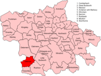
Map of civil parish of Utkinton within the former borough of Vale Royal
Utkinton is a village and former civil parish, now in the parishes of Utkinton and Cotebrook and Tarporley, in the unitary authority of Cheshire West and Chester and the ceremonial county of Cheshire, England. It is approximately 8 miles west of Winsford and north of Tarporley and 9 miles east of Chester. Utkinton is at the heart of the local farming community. The upper part of Utkinton is known as 'Quarry Bank'. The civil parish was abolished in 2015 to form Utkinton and Cotebrook, part also went to Tarporley.[1]
It had a population of 706 at the 2011 census.[2] There is a shop, with a cafe and garden centre, a small Church of England school, a church and a Methodist Chapel that has fallen into disuse.
Utkinton is on the Sandstone Trail.
See also
References
- ↑ "UTKINTON". GENUKI. Retrieved 2 May 2018.
- ↑ "Parish population 2011". Retrieved 30 May 2015.
External links
| Wikimedia Commons has media related to Utkinton. |
Cheshire Portal | |
| Unitary authorities | |
| Major settlements | |
| Rivers | |
| Topics | |
This article is issued from
Wikipedia.
The text is licensed under Creative Commons - Attribution - Sharealike.
Additional terms may apply for the media files.