Stoak
| Stoak | |
|---|---|
%2C_Shropshire_Union_Canal%2C_Cheshire_-_DSC06303.JPG) Bridge 139 (Meadow Lane Bridge), Shropshire Union Canal, near Stoak | |
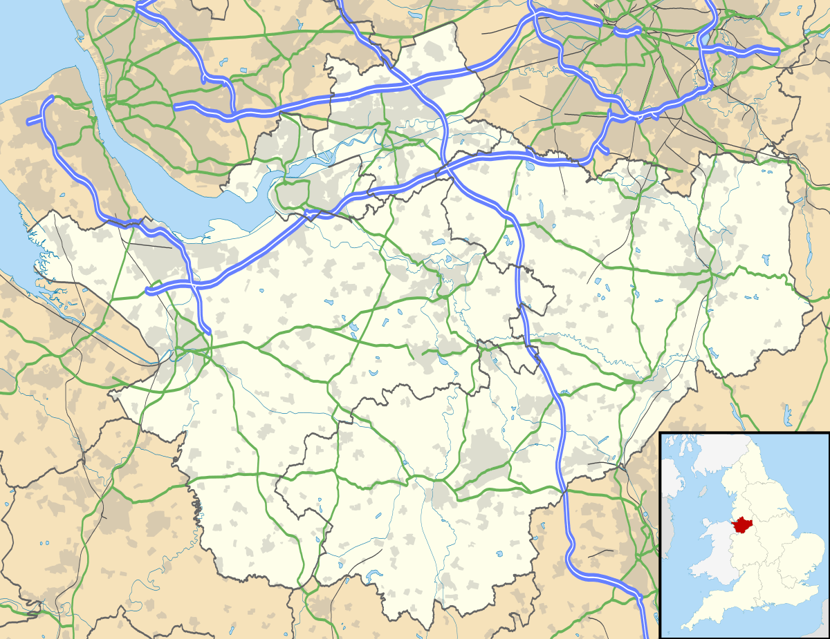 Stoak Stoak shown within Cheshire | |
| Population | 171 (2011) |
| OS grid reference | SJ421731 |
| Civil parish |
|
| Unitary authority | |
| Ceremonial county | |
| Region | |
| Country | England |
| Sovereign state | United Kingdom |
| Post town | CHESTER |
| Postcode district | CH2 |
| Dialling code | 01244 |
| Police | Cheshire |
| Fire | Cheshire |
| Ambulance | North West |
| EU Parliament | North West England |
| UK Parliament | |
Stoak is a small village and civil parish in the unitary authority of Cheshire West and Chester; and the ceremonial county of Cheshire, England.
Within the parish, to the west of the village is the intersection of the M53 and M56 Motorways, and to its east the Shropshire Union Canal.
The population of the parish as taken at the 2011 census was 171.[1] The name of the parish was changed to match the name of the village in April 2015 from the previous Stoke after a review of town and parish councils in the Cheshire West and Chester unitary authority.[2][3] The parish should not be confused with a different Cheshire parish called Stoke, in Cheshire East.
The parish church in the village, St Lawrence's Church, Stoak, is a Grade II* listed building.[4]
See also
References
| Wikimedia Commons has media related to Stoak, Cheshire. |
- ↑ "Parish population 2011". Retrieved 27 May 2015.
- ↑ Compendium of Decision Notices, Cheshire West and Chester unitary authority, 28 November 2014. p. 69
- ↑ "STOAK". GENUKI. Retrieved 28 April 2018.
- ↑ "Church of St Lawrence, Stoke". British Listed Buildings. Retrieved 5 December 2015.
Cheshire Portal | |
| Unitary authorities | |
| Major settlements | |
| Rivers | |
| Topics | |