Huntington, Cheshire
| Huntington | |
|---|---|
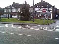 Village centre | |
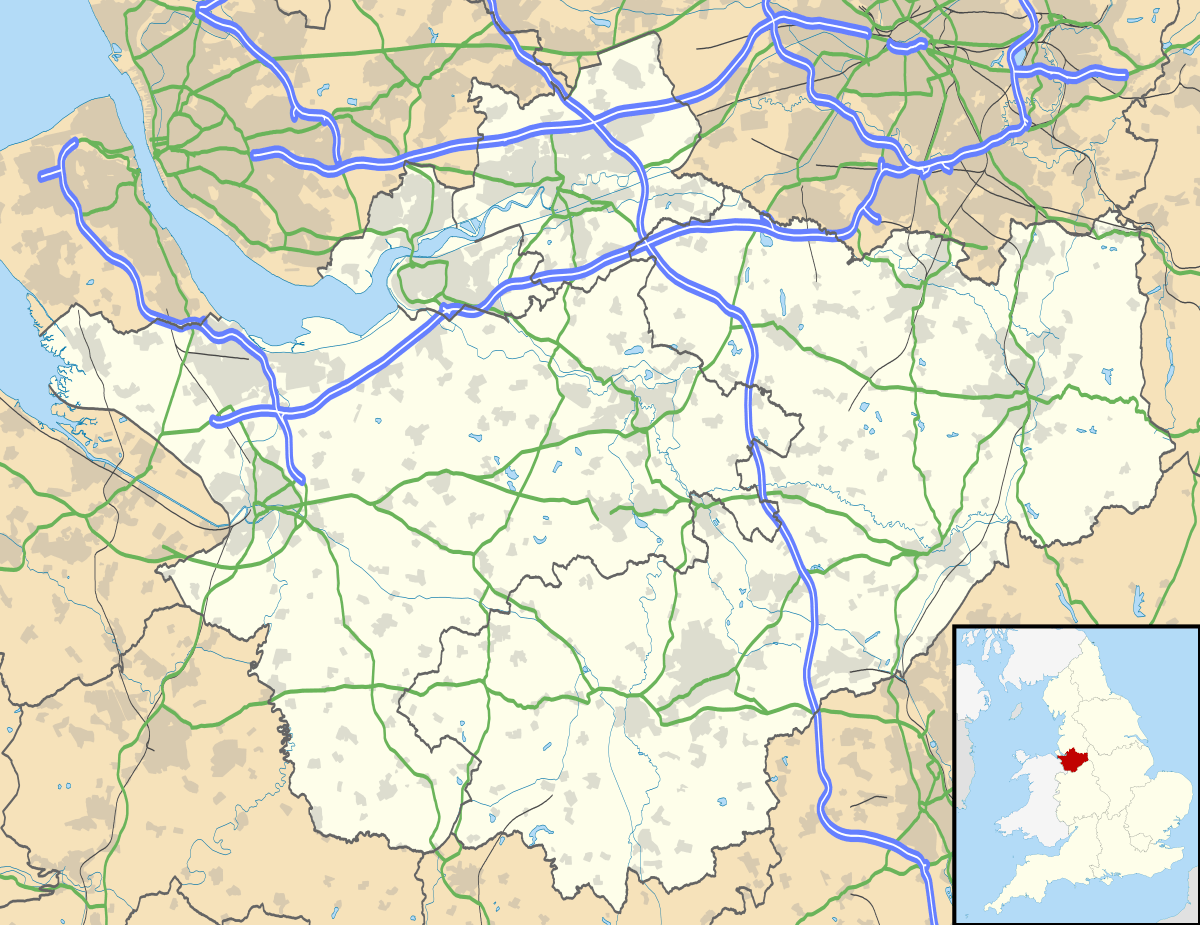 Huntington Huntington shown within Cheshire | |
| Population | 2,115 (2011) |
| OS grid reference | SJ423644 |
| Civil parish |
|
| Unitary authority | |
| Ceremonial county | |
| Region | |
| Country | England |
| Sovereign state | United Kingdom |
| Post town | CHESTER |
| Postcode district | CH3 |
| Dialling code | 01244 |
| Police | Cheshire |
| Fire | Cheshire |
| Ambulance | North West |
| EU Parliament | North West England |
| UK Parliament | |
Huntington is a civil parish on the southern outskirts of Chester in the unitary authority of Cheshire West and Chester and the ceremonial county of Cheshire, England. At the 2001 Census, the population of the entire civil parish was 1,961,[1] increasing to 2,115 at the 2011 census.[2]
Huntington (Hunditone) It is known to have existed at the time of William the Conqueror's Domesday Book in 1086[3] on land held by St. Werburgh's Church. The population according to the census of the 1801 was 111, becoming 129 in 1851, 121 in 1901 and 2,614 in 1951.[4]
Community
The main road through the village, Chester Road (B5130), links Chester, which is less than a mile to the north, with the villages of Farndon and Aldford to the south. The A55 (North Wales Expressway) passes through the south of the village, but is not directly accessible at Huntington.[5]
The village includes a few shops, a post office, Huntington Primary School and St Luke's Church of England Church.[6] Recreational open spaces include a village green, Jubilee Field and the 30 acres (120,000 m2) of wetland, woodland and meadows of Caldy Nature Park.[5][7]
Saighton Camp is an old British Army base that, despite the name, is within Huntington's boundaries. The base is undergoing development for new housing. Controversially the developers reneged on proposals to build a primary school on the site and succeeded in getting planning permission for additional housing instead. In response, to meet growing demand for school places Cheshire West and Chester council is now building a new school on green belt land adjacent to the camp as a replacement for the existing school, which is expected to be completed in October 2018.[8][9]
During the early years of the redevelopment of the camp the Chester Driving Standards Agency test centre was located between the main part of Huntington and Saighton Camp.
Wales national football team manager Gary Speed, born just over the Welsh border in Mancot, lived at a house in the village at the time of his death in November 2011.[10]
See also
References
- ↑ 2001 Census: Huntington, Office for National Statistics, retrieved 15 May 2007
- ↑ "Parish polulation 2011". Retrieved 27 May 2015.
- ↑ The Domesday Book Online - Cheshire A-K, The National Archive, retrieved 17 October 2012
- ↑ Cheshire Towns & Parishes: Huntington, GENUKI UK & Ireland Genealogy, retrieved 3 April 2008
- 1 2 Huntington Village website, Huntington Parish Council, archived from the original on 4 July 2008, retrieved 3 April 2008
- ↑ St. Luke's Church Website, St. Luke's Church, retrieved 25 May 2014
- ↑ Caldy Nature Park, Friends of Caldy Nature Park, retrieved 25 May 2007
- ↑ http://www.chesterchronicle.co.uk/news/chester-cheshire-news/new-huntington-primary-school-planned-12540586
- ↑ https://www.chesterchronicle.co.uk/news/chester-cheshire-news/new-huntington-primary-school-taking-14277660
- ↑ https://www.mirror.co.uk/news/top-stories/2011/11/27/gary-speed-dead-wales-manager-found-hanged-aged-42-115875-23592651/
External links
![]()
Cheshire Portal | |
| Unitary authorities | |
| Major settlements | |
| Rivers | |
| Topics | |