Burton, Gowy
| Burton | |
|---|---|
 Burton from the fields to the west of the village | |
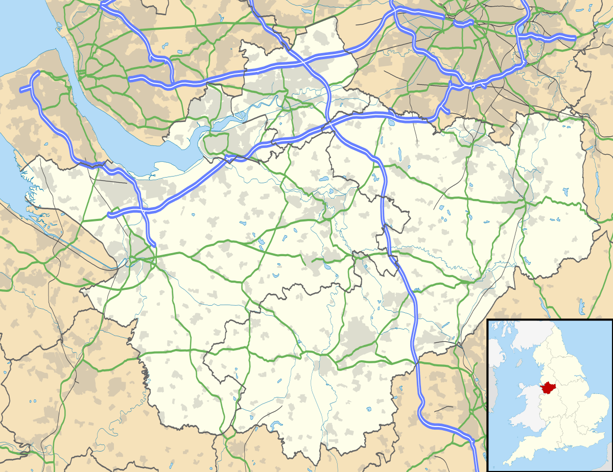 Burton Burton shown within Cheshire | |
| Population | 50 (2001) |
| OS grid reference | SJ510638 |
| Civil parish |
|
| Unitary authority | |
| Ceremonial county | |
| Region | |
| Country | England |
| Sovereign state | United Kingdom |
| Post town | CREWE |
| Postcode district | CW6 |
| Dialling code | 01829 |
| Police | Cheshire |
| Fire | Cheshire |
| Ambulance | North West |
| EU Parliament | North West England |
| UK Parliament | |
Burton is a small village and former civil parish, now in the parish of Duddon and Burton, in the unitary authority of Cheshire West and Chester and the ceremonial county of Cheshire, England. In the 2001 Census, the parish had a population of 50.
Burton is referenced on Christopher Saxton's map of Cheshire from 1577[1].
Location
The village is about 2 miles (3.2 km) south east of Tarvin and 3 miles (4.8 km) west of Tarporley. The village lies on Burton Road, with the villages of Duddon to the north and Hoofield to the south. The River Gowy passes approximately 1 mile (1.6 km) to the south west of Burton.
The Eddisbury Way footpath passes through the village.[2]
The village is surrounded by undulating pasture and contains three dairy farms - Burton Farm, Holly Farm and Home Farm. The village is dominated by Burton Hall.
Governance
Burton currently falls within the unitary authority of Cheshire West and Chester and within the Westminster constituency of Eddisbury.
Until 1 April 2015, Burton was a civil parish. Although classified as a civil parish, it had neither a parish council nor a parish meeting, and, consequently, the duties that would normally be performed by these bodies were the responsibility of Cheshire West and Chester Council.
From 1 April 2015, Burton parish was merged with Duddon parish to create a new, larger, Duddon parish.[3][4] On the 1 July 2017 the new Burton parish was renamed to Duddon and Burton.[5]
See also
References
- ↑ "16th - 19th Century maps of Cheshire". Cheshire Local History Association. Retrieved 9 April 2018.
- ↑ Explorer 267: Northwich & Delamere Forest (Map) (A1 ed.). 1:25000. Explorer. Ordnance Survey. 2004. ISBN 0-319-23567-X.
- ↑ "Community Governance Review of Burton and Duddon parishes, Notice of Decision, Local Government and Public Involvement in Health Act 2007" (PDF). 28 November 2014. pp. 42–43. Archived from the original (PDF) on 23 September 2015. Retrieved 10 April 2015.
- ↑ "BURTON (near Tarvin)". GENUKI. Retrieved 16 May 2018.
- ↑ "Notice of change of name of Parish of Duddon". Cheshire West and Chester Council. Retrieved 16 May 2018.
External links
| Wikimedia Commons has media related to Burton. |
Cheshire Portal | |
| Unitary authorities | |
| Major settlements | |
| Rivers | |
| Topics | |