Tetariya
| Tetariya तेतरीया | |
|---|---|
| Village development committee | |
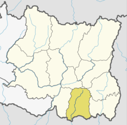
 Tetariya Location in Nepal | |
| Coordinates: 26°34′N 87°21′E / 26.57°N 87.35°ECoordinates: 26°34′N 87°21′E / 26.57°N 87.35°E | |
| Country |
|
| Zone | Kosi Zone |
| District | Morang District |
| Population (1991) | |
| • Total | 4,469 |
| Time zone | UTC+5:45 (Nepal Time) |
Tetariya is a village development committee in Morang District in the Kosi Zone of south-eastern Nepal. At the time of the 1991 Nepal census it had a population of 4469 people living in 846 individual households.[1]
List of Educational Institutions:-
•Shree Devi Madhyamik Vidhyalaya
•Shree Hans Memorial Academy
•Shree Krishna School
Tetariya hat (bazaar) is one of the biggest market of Tetariya. It is held twice in a week on Wednesday and Saturday. There are numbers of shops and hotels.
Religious Places:-
•Shiva Mandir, Tetariya
•Ram Janaki Mandir, Shantipur
References
- ↑ "Nepal Census 2001". Nepal's Village Development Committees. Digital Himalaya. Retrieved 18 December 2008.
This article is issued from
Wikipedia.
The text is licensed under Creative Commons - Attribution - Sharealike.
Additional terms may apply for the media files.