Strawberry, El Dorado County, California
Coordinates: 38°47′49″N 120°08′43″W / 38.79694°N 120.14528°W
| Strawberry | |
|---|---|
| Unincorporated community | |
 Strawberry Lodge after a winter storm, facing U.S. Route 50 | |
 Strawberry Location in California  Strawberry Strawberry (the US) | |
| Coordinates: 38°47′49″N 120°08′43″W / 38.79694°N 120.14528°W | |
| Country | United States |
| State | California |
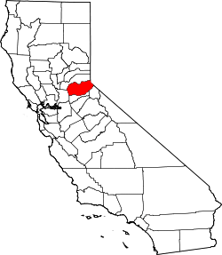
| County | El Dorado County |
| Elevation[1] | 5,738 ft (1,749 m) |
| ZIP code | 95735 (Twin Bridges, CA) |
| Area code(s) | 530 |
| FIPS code | 32-60600 |
| GNIS feature ID | 0861100 |
| Reference no. | 707 |
Strawberry is a small unincorporated community on the South Fork American River, 3.25 miles (5 km) south-southwest of Pyramid Peak,[2] along U.S. Route 50 in the foothills of the Sierra Nevada. The sign on the highway reads population 50.
The town became a popular resort in the 1850s, and a station along the Central Overland Pony Express between Yank's Station and Webster's, Sugar Loaf House Station. It was along the Lincoln Highway Sierra Nevada Southern Route by 1916. The site is now registered as California Historical Landmark #707.[3]
Strawberry is also the home of Lovers Leap climbing area.[4]

A view of Lovers Leap climbing area from the Pony Express Trail.
References
- ↑ U.S. Geological Survey Geographic Names Information System: Strawberry, El Dorado County, California
- ↑ Durham, David L. (1998). California's Geographic Names: A Gazetteer of Historic and Modern Names of the State. Clovis, Calif.: Word Dancer Press. p. 562. ISBN 1-884995-14-4.
- ↑ "Strawberry Valley House". Office of Historic Preservation, California State Parks. Retrieved 2012-10-07.
- ↑ "Rock climbing locations around Lake Tahoe for all skill levels | TahoeDailyTribune.com". Retrieved 2017-08-12.
This article is issued from
Wikipedia.
The text is licensed under Creative Commons - Attribution - Sharealike.
Additional terms may apply for the media files.