Outingdale, California
Coordinates: 38°37′00″N 120°43′48″W / 38.61667°N 120.73000°W
| Outingdale | |
|---|---|
| Unincorporated community | |
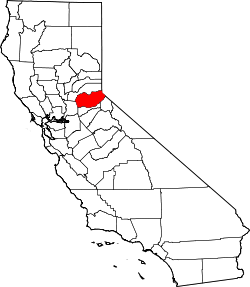
 Outingdale Location in California  Outingdale Outingdale (the US) | |
| Coordinates: 38°37′00″N 120°43′48″W / 38.61667°N 120.73000°W | |
| Country | United States |
| State | California |
| County | El Dorado County |
| Elevation[1] | 1,624 ft (495 m) |
| Population (2010) | |
| • Total | 129 |
Outingdale (formerly, Mars[2][3] and Outingdale Resort)[4] is an unincorporated community in El Dorado County, California.[1] It is located on the Middle Fork of the Cosumnes River 4 miles (6.4 km) north of Aukum,[4] at an elevation of 1624 feet (495 m).[1]
References
- 1 2 3 U.S. Geological Survey Geographic Names Information System: Outingdale, California
- ↑ "California. Placerville quadrangle (30'), 1893 (1905) :: Historical California Topographical Maps, 1886-1977". digitallibrary.usc.edu. USGS. p. Top right section of center bottom section. Retrieved 2018-07-29.
- ↑ "Reservoir Sites Selected by Marshall in Valley Watershed". The Sacramento Union (Vol. 219, Number 11). Sacramento, CA. March 11, 1921. p. 8. Retrieved 2018-07-31.
Cosumnnes River (El Dorado County): ... (3) Baker's Ford, one-half mile above Mars, on Middle Fork.
- 1 2 Durham, David L. (1998). California's Geographic Names: A Gazetteer of Historic and Modern Names of the State. Clovis, Calif.: Word Dancer Press. p. 534. ISBN 1-884995-14-4.
This article is issued from
Wikipedia.
The text is licensed under Creative Commons - Attribution - Sharealike.
Additional terms may apply for the media files.