Raffetto, California
Coordinates: 38°51′49″N 120°26′29″W / 38.86361°N 120.44139°W
| Raffetto | |
|---|---|
| Unincorporated community | |
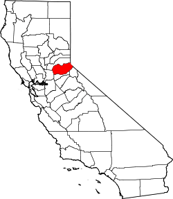
 Raffetto Location in California  Raffetto Raffetto (the US) | |
| Coordinates: 38°51′49″N 120°26′29″W / 38.86361°N 120.44139°W | |
| Country | United States |
| State | California |
| County | El Dorado County |
| Elevation[1] | 4,701 ft (1,433 m) |
Raffetto is an unincorporated community in El Dorado County, California.[1] It is located 6.25 miles (10 km) north of Riverton[2] and some 20 miles northeast of Placerville at an elevation of 4,701 feet (1,433 m).[1]
Raffetto lies along the Union Valley Reservoir, formed in 1963 by damming the Big Silver Creek, Jones Fork Silver Creek, Tells Creek, Wench Creek of the American River, within the Eldorado National Forest.
The name "Raffetto" appears in nearby Newtown and Placerville. Members include John Augustus Raffetto (1874-1954) and Michael Raffetto (1899-1990).
References
This article is issued from
Wikipedia.
The text is licensed under Creative Commons - Attribution - Sharealike.
Additional terms may apply for the media files.