Coyoteville, California
Coordinates: 38°33′05″N 120°41′24″W / 38.55139°N 120.69000°W
| Coyoteville | |
|---|---|
| Unincorporated community | |
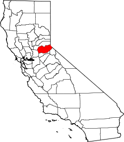
 Coyoteville Location in California  Coyoteville Coyoteville (the US) | |
| Coordinates: 38°33′05″N 120°41′24″W / 38.55139°N 120.69000°W | |
| Country | United States |
| State | California |
| County | El Dorado County |
| Elevation[1] | 2,162 ft (659 m) |
Coyoteville is an unincorporated community in El Dorado County, California.[1] It is located 2 miles (3.2 km) east of Aukum,[2] at an elevation of 2162 feet (659 m).[1]
References
This article is issued from
Wikipedia.
The text is licensed under Creative Commons - Attribution - Sharealike.
Additional terms may apply for the media files.