Fresh Pond, California
Coordinates: 38°45′37″N 120°31′48″W / 38.76028°N 120.53000°W
| Fresh Pond | |
|---|---|
| Unincorporated community | |
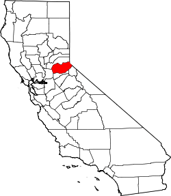
 Fresh Pond Location in California | |
| Coordinates: 38°45′37″N 120°31′48″W / 38.76028°N 120.53000°W | |
| Country | United States |
| State | California |
| County | El Dorado County |
| Area Code | 530 |
| Zip Code | 95726 |
| Elevation[1] | 3,606 ft (1,099 m) |
| Population (2010) | |
| • Total | 48 |
Fresh Pond is a small unincorporated community in El Dorado County, California.[1] It is located 3 miles (4.8 km) east of Pollock Pines,[2] at an elevation of 3606 feet (1099 m).[1] The ZIP code is 95726. The community is inside area code 530. It is nestled along Highway 50 and offers a convenient gas station by the road.
Climate
The average annual snowfall lies around 6 inches and average rainfall of 51 inches (approximate), normal for the west slope of the Sierra Nevadas. High temperatures in summer are about 90 degrees, dropping to about 54 in the winter. This mildly wet climate and higher elevation allows much vegetation to thrive in this area. [3]
References
- 1 2 3 U.S. Geological Survey Geographic Names Information System: Fresh Pond, California
- ↑ Durham, David L. (1998). California's Geographic Names: A Gazetteer of Historic and Modern Names of the State. Clovis, Calif.: Word Dancer Press. p. 489. ISBN 1-884995-14-4.
- ↑ http://[www.usa.com/pollock-pines-ca-weather.htm]
This article is issued from
Wikipedia.
The text is licensed under Creative Commons - Attribution - Sharealike.
Additional terms may apply for the media files.