Starke–Meinershagen–Boeke Rural Historic District
|
Starke–Meinershagen–Boeke Rural Historic District | |
  | |
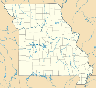
| Location | Route 94, 5 miles west of Marthasville, near Marthasville, Missouri |
|---|---|
| Coordinates | 38°37′36″N 91°4′47″W / 38.62667°N 91.07972°WCoordinates: 38°37′36″N 91°4′47″W / 38.62667°N 91.07972°W |
| Area | 5 acres (2.0 ha) |
| Built | c. 1863-1870 |
| Architectural style | Missouri-German |
| NRHP reference # | 97001611[1] |
| Added to NRHP | January 7, 1998 |
Starke–Meinershagen–Boeke Rural Historic District is a historic national historic district located near Marthasville, Warren County, Missouri. The district encompasses seven contributing buildings on an 1860s farmstead. The contributing buildings are a two-story, brick I-house and brick smokehouse dated between 1863 and 1870; and a gambrel roof barn, two machine sheds, a garage, and a hen house dated to the early-20th century.[2]:5
It was listed on the National Register of Historic Places in 1998.[1]
References
- 1 2 National Park Service (2010-07-09). "National Register Information System". National Register of Historic Places. National Park Service.
- ↑ Becky L. Snider (May 1997). "National Register of Historic Places Inventory Nomination Form: Prairie View Stock Farm" (PDF). Missouri Department of Natural Resources. Retrieved 2017-03-01. (includes 11 photographs from 1997)
This article is issued from
Wikipedia.
The text is licensed under Creative Commons - Attribution - Sharealike.
Additional terms may apply for the media files.

