Slinfold
| Slinfold | |
|---|---|
 St. Peter's parish church | |
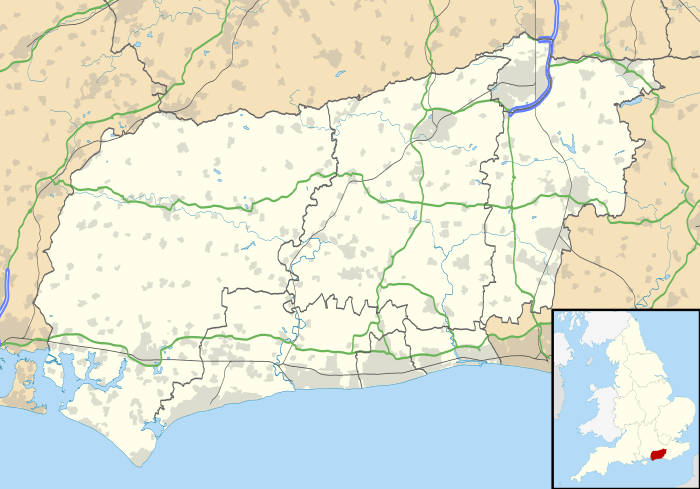 Slinfold Slinfold shown within West Sussex | |
| Area | 16.95 km2 (6.54 sq mi) [1] |
| Population |
1,647 (2001 census)[2] 2,055 (2011 Census)[3] |
| • Density | 97/km2 (250/sq mi) |
| OS grid reference | TQ1131 |
| • London | 45 miles (72 km) NNE |
| Civil parish |
|
| District | |
| Shire county | |
| Region | |
| Country | England |
| Sovereign state | United Kingdom |
| Post town | Horsham |
| Postcode district | RH13 |
| Dialling code | 01403 |
| Police | Sussex |
| Fire | West Sussex |
| Ambulance | South East Coast |
| EU Parliament | South East England |
| UK Parliament | |
| Website | Slinfold Parish Council |
Slinfold is a village and civil parish in the Horsham District of West Sussex, England.
Geography
The village is almost 4 miles (6.4 km) west of Horsham, just off the A29 road.
The parish covers 4,186 acres (1,694 ha). The 2001 Census recorded a population of 1,647 people[2] living in 627 households of whom 780 were economically active.
Slinfold is the source of the western River Adur, which flows to the English Channel at Shoreham-by-Sea[4]
Manors
There has been a house at Dedisham, 1 mile (1.6 km) northeast of the village, since at least 1271, when Henry III granted the then occupier a licence to crenellate the manor house then on the site.[5] The present house on the site appears to date from the 16th or 17th century.[5] During the English Civil War the Parliamentarian commander Sir William Waller sacked a house on this site in 1643.[5]
Slinfold Manor, 1.5 miles (2.4 km) south of the village, is a Georgian house built late in the 18th century.[5]
Church and chapel
The Church of England parish church of Saint Peter was designed by the Gothic Revival architect Benjamin Ferrey in a late 13th-century style and built in 1861 on the site of the original medieval parish church.[6]
Slinfold Chapel is linked with Horsham United Reformed Church.[7]
Economic and social history
Slinfold railway station on the Cranleigh Line was opened in 1865 and closed in 1965. The trackbed of the line now forms part of the Downs Link Bridleway. The route of the former Roman road linking London and Chichester passes through the parish [8] and a Roman posting station existed at Alfoldean. In 1848 it was recorded that Roman swords and brass ornaments had been found in the parish.[8]
Slinfold has a village shop and Post Office, a primary school and pre-school, a recreation ground, a village hall and one public house, the Red Lyon.[9] Where Slinfold Railway station used to be is now a Caravan Club site.[10]
Bell legend
It is said that there is a boggy hollow near Slinfold which contains a sunken bell. Long ago some villagers, hoping to retrieve the bell, sought the advice of a witch. She told them that it could only be retrieved by 12 white oxen, at midnight. The oxen were used, but one villager broke the witch's instructions by speaking, and the bell sank back into the bog.[11]
References
- ↑ "2001 Census: West Sussex – Population by Parish" (PDF). West Sussex County Council. Archived from the original (PDF) on 8 June 2011. Retrieved 12 April 2009.
- 1 2 "Area selected: Horsham (Non-Metropolitan District)". Neighbourhood Statistics: Full Dataset View. Office for National Statistics. Retrieved 13 December 2011.
- ↑ "Civil Parish population 2011". Neighboiurhood Statistics. Office for National Statistics. Retrieved 3 October 2016.
- ↑ "River Adur". Waterscape. British Waterways. Retrieved 14 December 2011.
- 1 2 3 4 Nairn & Pevsner 1965, p. 329.
- ↑ Nairn & Pevsner 1965, p. 328.
- ↑ "Horsham URC". Retrieved 14 December 2011.
- 1 2 Lewis 1848, pp. 120–123.
- ↑ The Red Lyon
- ↑ "Slinfold Caravan Site". Club Sites. The Caravan Club. Retrieved 14 December 2011.
- ↑ Ash, Russell (1973). Folklore, Myths and Legends of Britain. Reader's Digest Association Limited. p. 208. ISBN 9780340165973.
Sources
- Lewis, Samuel, ed. (1931) [1848]. A Topographical Dictionary of England (Seventh ed.). London: Samuel Lewis. pp. 120–123.
- Nairn, Ian; Pevsner, Nikolaus (1965). Sussex. The Buildings of England. Harmondsworth: Penguin Books. pp. 328–329. ISBN 0-14-071028-0.
External links
![]()