Broadbridge Heath
| Broadbridge Heath | |
|---|---|
 St John's Church | |
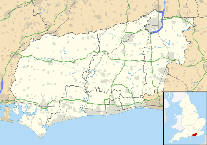 Broadbridge Heath Broadbridge Heath shown within West Sussex | |
| Area | 2.16 km2 (0.83 sq mi) [1] |
| Population |
3,021 [1] 2001 Census 3,112 (2011 Census)[2] |
| • Density | 1,401/km2 (3,630/sq mi) |
| OS grid reference | TQ150315 |
| • London | 31 miles (50 km) NNE |
| Civil parish |
|
| District | |
| Shire county | |
| Region | |
| Country | England |
| Sovereign state | United Kingdom |
| Post town | HORSHAM |
| Postcode district | RH12 |
| Dialling code | 01403 |
| Police | Sussex |
| Fire | West Sussex |
| Ambulance | South East Coast |
| EU Parliament | South East England |
| UK Parliament | |
| Website | Parish Council |
Broadbridge Heath is a village and civil parish in the Horsham district of West Sussex, England. It is about two miles (3 km) west from the historic centre of Horsham. The population of Broadbridge Heath has increased considerably in the first two decades of the twenty-first century because of large scale housing development.
History
The earliest evidence of human activity in what is now Broadbridge Heath dates to the Mesolithic period, in the form of flint implements found in the Wickhurst Green area. Later evidence of settlement in the parish includes several Iron Age roundhouses.[3]
The land now occupied by Broadbridge Heath was originally a detached portion of the parish of Sullington, part of a mediaeval system of transhumance whereby villagers from downland villages would drive their livestock into the Low Weald to graze on acorns, grass and beech mast.[4] A manor at Broadbridge was occupied by Roger Covert in the 1290s.[5]
The village began as a scattered group of houses around an unenclosed common before the 19th century, and by 1844 there were about twelve houses and an inn. Deposits of Horsham Stone have long been quarried in the area and in 2016 one working quarry existed to west of the village. In spite of the enclosure of the heath in the 1850s, there was little further development until the late 1880s when land along the main Horsham to Five Oaks Road was offered for sale and a number of semi-detached houses were built there over the next 13 years.[5]
After the Second World War, the pace of development increased and large new housing estates were built to the south of the village. In August 1950 the Headquarters for Bomb Disposal Units (UK), Royal Engineers moved to a site on Wickhurst Lane; in 1951 the School of Bomb Disposal, which had been based in Chatham since 1949, arrived on site so that it was co-located with the Headquarters. In 1959 it was renamed the Joint Service Bomb Disposal School. The Bomb Disposal School moved out to Lodge Hill in 1966[6] and a supermarket and leisure centre were built on the vacant land in the 1980s.[7]
The opening of the A264 Broadbridge Heath by-pass in the 1970s reduced traffic congestion in the village.
In 2013-16 a development of 1,500 houses was constructed to the south of the by-pass, under the name Wickhurst Green. As part of this development, in March 2014, West Sussex County Council proposed a new 'Quadrant' area south of the village, that would include a new leisure centre and other recreational services to serve Horsham but to be built in Broadbridge Heath.[8]
Facilities
Shops & Businesses
- A post office and convenience store (One Stop)
- Barber's, Hairdresser's and tattoo parlour
- A dry cleaners and ironing service
- A Shell petrol station and shop
- A large Tesco supermarket with its own petrol station and car wash to the south of the village on the other side of A264
- A retail park with branches of Halfords, Homebase and Carpet Right, also to the south of the village
- A public house (The Shelley Arms)
- A company selling locally quarried Horsham Stone and reclaimed building materials.
- A Škoda dealership
- Ford and Mazda dealerships
- The Lawson-Hunt industrial estate
- Newbridge Nurseries, a retail garden centre on the A264, which is to the south west of the village.
- Stook's Cafe, part of the aforementioned Newbridge Nurseries, which opened as an extension to the centre in 2012.
Social
- A village centre and social club, also home to Horsham Sea Cadets unit, T.S. Glory.
- A scout hall, home to several Scouting organisations, but also used for charity and social functions.
- Several playground areas in Findon Way, Charrington Way and the Village Green; a large recreation ground with a pond known locally as "The Ducky"

Religion
- St John's Church (Anglican) - a modern church built in the 1960s. In 1964, a sculpture of Jesus Christ, created by Edward Bainbridge Copnall was placed on the church. In December 2008 it was removed and was put in Horsham Museum. It has since been replaced with a glass cross.
- The Plymouth Brethren's Meeting Room.
Education
Shelley Primary School, located on Wickhurst Lane provides mainstream education for boys and girls aged between 4 and 11 years.
Sport and leisure
Broadbridge Heath has a Non-League football club Broadbridge Heath F.C. who play at Broadbridge Heath Leisure Centre. The Centre consists of a full size running track, athletic facilities and football pitch as well as the District's Indoor bowls Centre. The Grenadian Olympic Team trained at the Centre in the weeks preceding the London 2012 Olympic Games, at which Kirani James won Grenada's first Olympic gold medal in the men's 400m. Horsham Amateur Operatic and Dramatic Society (HAODS) are also based at Broadbridge Heath Leisure Centre.
Broadbridge Heath also has a cricket club whose teams play in the West Sussex Invitation Cricket League. They also have a junior section. Closely linked with the cricket club is the Broadbridge Heath Stoolball Club. On the same site, Broadbridge Heath Tennis Club have two courts. All these three clubs are situated at the 'Top Common' in the village.
Transport
The village is situated at the junction of the A24 and the A264 road. The village is served hourly by public transport by the Metrobus, Compass Travel, Sussex Coaches and Arriva bus companies. The nearest railway station is at Christ's Hospital although Horsham has more frequent services. The nearest airport is London Gatwick.
Geography
Neighbouring areas | ||||||||||
|---|---|---|---|---|---|---|---|---|---|---|
| ||||||||||
Notable residents
The poet Percy Bysshe Shelley, was born at Field Place, which stands about a mile to the north of the village.
The bestselling novelist Georgette Heyer lived at the Swan Ken, Broadbridge Heath, for several months in 1931.
References
| Wikimedia Commons has media related to Broadbridge Heath. |
- 1 2 "2001 Census: West Sussex – Population by Parish" (PDF). West Sussex County Council. Archived from the original (PDF) on 8 June 2011. Retrieved 12 April 2009.
- ↑ "Civil Parish population 2011". Neighbourhood Statistics. Office for National Statistics. Retrieved 27 September 2016.
- ↑ "Evidence of prehistoric living in the Weald revealed after Broadbridge Heath excavation". West Sussex County Times. 20 November 2013. Retrieved 22 June 2016.
- ↑ 'The Kent and Sussex Weald, Peter Brandon, published by Phillimore and Company, 2003 ISBN 1-86077-241-2
- 1 2 Hudson, T. P. (editor) (1986) A History of the County of Sussex: Volume 6. (Part 2 Bramber Rape (North-Western Part) including Horsham.)
- ↑ "A Short History of Royal Engineer Bomb Disposal". The Royal Engineers Bomb Disposal Officers Club. Archived from the original on 2 October 2003. Retrieved 5 January 2015.
- ↑ "Plans announced for new leisure centre". West Sussex County Times. Retrieved 5 September 2016.
- ↑ "People power wins new leisure centre for Broadbridge Heath". Retrieved 4 September 2016.
- ↑ Brethren's Meeting Room Built in 1908 as a daughter church of 382506 it was known as Broadbridge Heath Free Church until the late 1990s/early 2000s when its congregation had dissipated. It was the home of Busy Bees pre-school until the Unitarian church sold the property to its current owners. Under the left-hand window is a commemorative stone made almost illegible by countless layers of paint. It reads, "This stone was laid by Mr Samuel Barrow of Burningfold Hall July 16th 1908"