Singair Upazila
| Singair সিঙ্গাইর | |
|---|---|
| Upazila | |
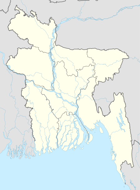
 Singair Location in Bangladesh | |
| Coordinates: 23°48′55″N 90°08′03″E / 23.81528°N 90.13417°ECoordinates: 23°48′55″N 90°08′03″E / 23.81528°N 90.13417°E | |
| Country |
|
| Division | Dhaka Division |
| District | Manikganj District |
| Area | |
| • Total | 217.38 km2 (83.93 sq mi) |
| Population (1991) | |
| • Total | 231,628 |
| • Density | 1,100/km2 (2,800/sq mi) |
| Time zone | UTC+6 (BST) |
| Website | Official Map of Singair |
Singair (Bengali: সিঙ্গাইর) is an Upazila of Manikganj District in the Division of Dhaka, Bangladesh.[1]

Geography
Singair is located at 23°49′00″N 90°09′00″E / 23.8167°N 90.1500°E . It has 44151 households and total area 217.38 km².
Demographics
As of the 1991 Bangladesh census, Singair has a population of 461628. Males constitute 50.47% of the population, and females 49.53%. This Upazila's eighteen up population is 267789. Singair has an average literacy rate of 21.1% (7+ years), and the national average of 32.4% literate.[2]
Administration
Singair Upazila is divided into Singair Municipality and 11 union parishads: Baldhara, Boyra, Chandhar, Charigram, Dhalla, Joymontop, Jamirta, Jamsha, Saista, Singair, and Talibpur. The union parishads are subdivided into 137 mauzas and 241 villages.
Bogra Municipality is subdivided into 9 wards and 14 mahallas.[3]
Education
There are three colleges in the upazila.[4] They include Singair College, founded in 1970.[1]
According to Banglapedia, Boyra Multilateral High School, founded in 1943, Charigram High School (1948), Golaidanga High School (1967), Jamirta SG Multilateral High School (1921), Joy Mantap High School (1929), Nabagram Multilateral High School (1921), Shahrail High School (1964), and Singair Pilot High School (1940) are notable secondary schools.[1]
See also
References
- 1 2 3 MA Ramzan (2012), "Singair Upazila", in Sirajul Islam and Ahmed A. Jamal, Banglapedia: National Encyclopedia of Bangladesh (Second ed.), Asiatic Society of Bangladesh
- ↑ "Population Census Wing, BBS". Archived from the original on 2005-03-27. Retrieved November 10, 2006.
- ↑ "District Statistics 2011: Manikganj" (PDF). Bangladesh Bureau of Statistics. Retrieved October 21, 2017.
- ↑ "List of Colleges" (XLS). Secondary and Higher Education Division. 2016. Retrieved 25 July 2017.
