Shoal Lake 39
| Shoal Lake 39 | |
|---|---|
| Indian reserve | |
| Shoal Lake Indian Reserve No. 39 | |
 Shoal Lake 39 | |
| Coordinates: 49°30′N 95°09′W / 49.500°N 95.150°WCoordinates: 49°30′N 95°09′W / 49.500°N 95.150°W | |
| Country |
|
| Provinces |
|
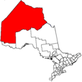
| Division / District | Division 1 / Kenora |
| First Nation | Iskatewizaagegan 39 |
| Area[1] | |
| • Land | 4.19 km2 (1.62 sq mi) |
Shoal Lake 39 is a First Nations reserve[1] on Shoal Lake straddling the border between Manitoba and Ontario. It is one of the reserves of the Iskatewizaagegan 39 Independent First Nation.
References
External links
Places adjacent to Shoal Lake 39 | |
|---|---|
Division No. 1, Manitoba (Eastern Manitoba) | ||
|---|---|---|
| Towns | 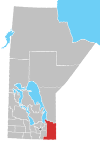 | |
| Local government districts | ||
| Rural municipalities | ||
| First Nations | ||
| Indian reserves |
| |
| Unorganized areas | ||
| Unincorporated communities | ||
This article is issued from
Wikipedia.
The text is licensed under Creative Commons - Attribution - Sharealike.
Additional terms may apply for the media files.