Schirgiswalde-Kirschau
| Schirgiswalde-Kirschau | |
|---|---|
 Schirgiswalde-Kirschau Location of Schirgiswalde-Kirschau within Bautzen district 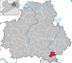  | |
| Coordinates: 51°6′N 14°26′E / 51.100°N 14.433°ECoordinates: 51°6′N 14°26′E / 51.100°N 14.433°E | |
| Country | Germany |
| State | Saxony |
| District | Bautzen |
| Area | |
| • Total | 24.3 km2 (9.4 sq mi) |
| Elevation | 250 m (820 ft) |
| Population (2017-12-31)[1] | |
| • Total | 6,299 |
| • Density | 260/km2 (670/sq mi) |
| Time zone | CET/CEST (UTC+1/+2) |
| Postal codes | 02681 |
| Dialling codes | 03592, 035938 |
| Vehicle registration | BZ |
Schirgiswalde-Kirschau (Sorbian: Šěrachow-Korzym) is a town in the district of Bautzen, in Saxony, Germany. It was formed on January 1, 2011 by the merger of the former municipalities Schirgiswalde, Kirschau and Crostau.
References
- ↑ "Aktuelle Einwohnerzahlen nach Gemeinden 2017] (Einwohnerzahlen auf Grundlage des Zensus 2011)" (PDF). Statistisches Landesamt des Freistaates Sachsen (in German). October 2018.
| Authority control |
|---|
This article is issued from
Wikipedia.
The text is licensed under Creative Commons - Attribution - Sharealike.
Additional terms may apply for the media files.