Saint-Benjamin, Quebec
| Saint-Benjamin | |
|---|---|
| Municipality | |
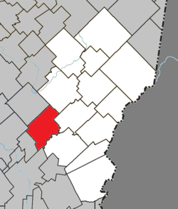 Location within Les Etchemins RCM. | |
 Saint-Benjamin Location in southern Quebec. | |
| Coordinates: 46°17′N 70°36′W / 46.283°N 70.600°WCoordinates: 46°17′N 70°36′W / 46.283°N 70.600°W[1] | |
| Country |
|
| Province |
|
| Region | Chaudière-Appalaches |
| RCM | Les Etchemins |
| Constituted | January 9, 1897 |
| Government[2] | |
| • Mayor | Benjamin Arseneau |
| • Federal riding | Beauce |
| • Prov. riding | Beauce-Sud |
| Area[2][3] | |
| • Total | 112.50 km2 (43.44 sq mi) |
| • Land | 111.43 km2 (43.02 sq mi) |
| Population (2011)[3] | |
| • Total | 891 |
| • Density | 8.0/km2 (21/sq mi) |
| • Pop 2006-2011 |
|
| • Dwellings | 406 |
| Time zone | UTC−5 (EST) |
| • Summer (DST) | UTC−4 (EDT) |
| Postal code(s) | G0M 1N0 |
| Area code(s) | 418 and 581 |
| Highways |
|
| Website |
www |
Saint-Benjamin is a municipality in Les Etchemins Regional County Municipality in Quebec, Canada. It is part of the Chaudière-Appalaches region and the population is 891 as of the Canada 2011 Census. It is named in tribute to Reverend Benjamin Demers, promoter of the new parish in 1895.
References
- Commission de toponymie du Québec
- Ministère des Affaires municipales, des Régions et de l'Occupation du territoire
Places adjacent to Saint-Benjamin, Quebec | |
|---|---|
| Municipalities | |
|---|---|
| Parishes | |
| |
This article is issued from
Wikipedia.
The text is licensed under Creative Commons - Attribution - Sharealike.
Additional terms may apply for the media files.