Remada
| Remada | |
|---|---|
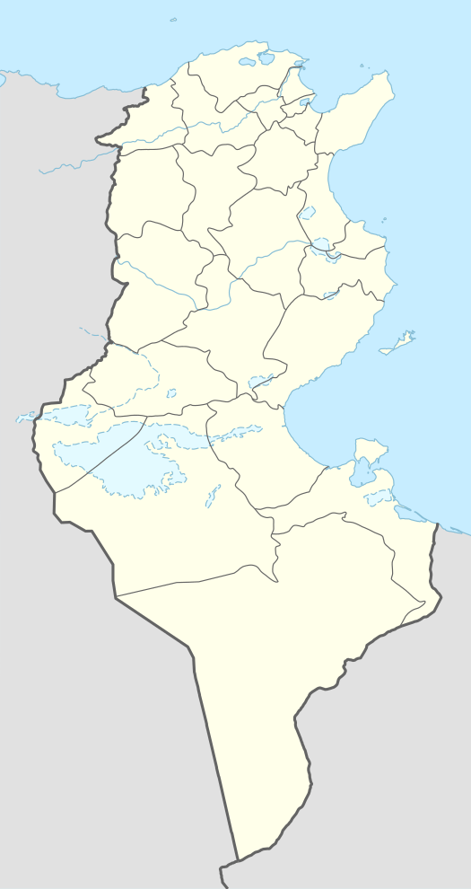 Remada Location in Tunisia | |
| Coordinates: 32°18′22″N 10°22′56″E / 32.30611°N 10.38222°ECoordinates: 32°18′22″N 10°22′56″E / 32.30611°N 10.38222°E | |
| Country |
|
| Governorate | Tataouine Governorate |
| Population (2014) | |
| • Total | 6,315 |
| Time zone | UTC1 (CET) |
Remada (Arabic: رمادة) is a town in Tunisia, close to the border with Libya. It is located at around 32°18′22″N 10°22′56″E / 32.30611°N 10.38222°E. Remada was built as a garrison town by the French and is today home to a Tunisian military base.
During the First World War, the French occupied the city and built houses for their soldiers.
Climate
| Climate data for Remada | |||||||||||||
|---|---|---|---|---|---|---|---|---|---|---|---|---|---|
| Month | Jan | Feb | Mar | Apr | May | Jun | Jul | Aug | Sep | Oct | Nov | Dec | Year |
| Average high °C (°F) | 14 (57) |
17 (63) |
22 (71) |
26 (78) |
30 (86) |
34 (94) |
38 (100) |
37 (98) |
34 (94) |
28 (83) |
22 (71) |
18 (64) |
27 (80) |
| Average low °C (°F) | 6 (42) |
7 (45) |
10 (50) |
14 (57) |
17 (62) |
21 (69) |
22 (71) |
22 (71) |
21 (69) |
17 (62) |
11 (52) |
8 (46) |
14 (58) |
| Average precipitation mm (inches) | 13 (0.5) |
5 (0.2) |
8 (0.3) |
0 (0) |
5 (0.2) |
0 (0) |
0 (0) |
5 (0.2) |
0 (0) |
10 (0.4) |
3 (0.1) |
5 (0.2) |
50 (2) |
| Source: Weatherbase [1] | |||||||||||||
External links
- ↑ "Weatherbase: Historical Weather for Remada, Tunisia". Weatherbase. 2011. Retrieved on November 24, 2011.
This article is issued from
Wikipedia.
The text is licensed under Creative Commons - Attribution - Sharealike.
Additional terms may apply for the media files.