Mahres
| Mahres المحرس | |
|---|---|
 Mahres | |
| Coordinates: 34°32′N 10°30′E / 34.533°N 10.500°E | |
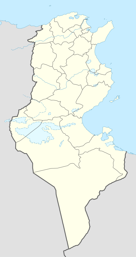
| Country |
|
| Area | |
| • Total | 13 km2 (5 sq mi) |
| Population (2014) | |
| • Total | 34,257 |
| Time zone | UTC+1 (CET) |
Mahres (Tunisian Arabic: "place for guard"), also known as Mahares or El Mahres, is a coastal town in Tunisia. Situated 300 kilometers south of Tunis and 32 kilometers south of Sfax, Mahres is part of the Sfax Governorate. Mahres's population increases drastically during its summer months when a large portion of its diaspora returns from Western European countries and from other regions of Tunisia to spend the summer in Mahres.
History
The town enjoys a strategic location that placed it on two important Roman roads that notably linked Carthage to Alexandria. The Byzantine fortress of Younga, the only archaeological site of its kind in the region, remains a testimony to the historical importance of Mahres. Taking its name from its protective function extending from Antiquity to the Muslim conquest of the Maghreb, Mahres was a key component of the Phoenician empire in Tunisia as a commercial coastal trading post, which helped facilitate the conversion of the Berbers to Christianity during the Roman and Byzantine periods. During the Aghlabid period, in which the Arab Muslim presence became dominant, Mahres was a powerful bulwark against foreign invasions.
Economy
The town thrives on the cultivation of olive trees, the extraction of olive oil, fishing, the agro-food industry, the furniture industry and the manufacturing of clothing. One of the largest olive groves in Tunisia is located within the Mahres delegation. Moreover, the fishing port, inaugurated by the former president Habib Bourguiba on April 21, 1987, constitutes a place of recreation for the inhabitants of the city in addition to its economic aspect. Meanwhile, the gas plant SIAP, located 9 kilometers north of the town, is operated by the British group British Gas and supplies 50% of Tunisia's natural gas needs.
Mahres is known in the region for its long beach called Chaffar, a notable beach area and tourist attraction within the governorate of Sfax. Chaffar is located three kilometers north of Mahres, and is frequently visited by residents of Mahres and Sfax.
Mahres has two hotels - Hotel Tamaris and Hotel Marzouk.
Culture
Mahres has hosted the International Festival of Plastic Arts every summer since its establishment in 1988, which is attended by numerous painters and sculptures from around the world. The artists come to Mahres to create art that is then permanently displayed in the town's corniche.
Education
Mahres has two high schools, two middle schools, eleven elementary schools and a vocational training center. Since 1968, a team of researchers from the Zoological Institute of the University of Zurich, led by Professor Rüdiger Wehner, spend several months in Mahres during the summer studying the mode of navigation of the Sahara Desert Ant.
Sport
Mahres has a municipal stadium that seats approximately 1,000 spectators. The stadium hosts the matches of the town's football club, Association Sportive de Mahres (ASM). The team's biggest football achievement has been reaching the knockout stages of the Tunisian Cup in 2004. In addition, the town houses a youth center for entertainment and the practice of various artistic and sporting activities.
Health
The town has a regional hospital, four pharmacies, a medical imaging center, a private laboratory for biological analysis, eight private physician's offices, five dental offices, a gynecology clinic, an ophthalmology clinic, a cardiology clinic, and an orthopedic surgery office.
Infrastructure
Mahres is intersected by a set of railway tracks connecting Tunis to Gabes and Gabes to Gafsa. These tracks were established in 1898 during the time of the French Protectorate of Tunisia. The Route Nationale 1 (RN1), Tunisia's 580 kilometer long national highway that connects Tunisia's capital of Tunis to Tunisia's southern border with Libya, also runs through Mahres.