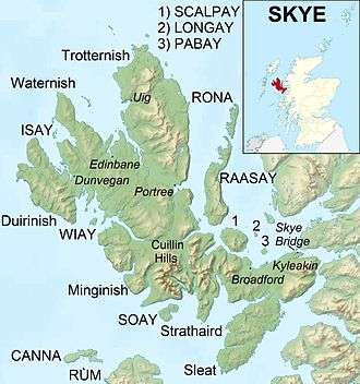
Sleat
 Point of Sleat Lighthouse closeup | |
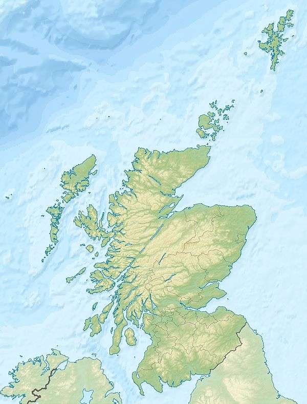
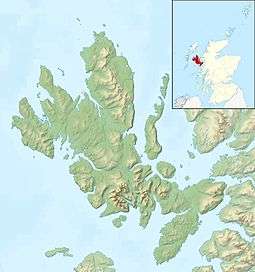 Isle of Skye | |
| Location |
Point of Sleat Skye Highland Scotland United Kingdom |
|---|---|
| Coordinates | 57°01′06″N 6°01′03″W / 57.018295°N 6.017619°W |
| Year first constructed | 1934 (first) |
| Year first lit | 2003 (current) |
| Automated | 2003 |
| Deactivated | 2003 (first) |
| Foundation | reinforced concrete |
| Construction | metal skeletal tower |
| Tower shape | quadrangular tower covered by aluminium panels with balcony and light on the top |
| Markings / pattern | white tower |
| Height | 5 metres (16 ft) |
| Focal height | 20 metres (66 ft) |
| Light source | solar power |
| Characteristic | Fl W 3s. |
| Admiralty number | A3952 |
| NGA number | 3788 |
| ARLHS number | SCO-219 |
| Managing agent | Northern Lighthouse Board[1] |
Sleat is a peninsula on the island of Skye in the Highland council area of Scotland, known as "the garden of Skye". It is the home of the clan MacDonald of Sleat. The name comes from the Scottish Gaelic Sléibhte (or Slèite), which in turn comes from Old Norse sléttr (smooth, even),[2] which well describes Sleat when considered in the surrounding context of the mainland, Skye and Rùm mountains that dominate the horizon all about Sleat.
Sleat is a traditional parish that has several communities and two major landowners (the Clan Donald Lands Trust and Eilean Iarmain Estate). Sleat Community Trust (Scottish Gaelic: Urras Coimhearsnachd Shlèite), the local development trust, has purchased the Skye Ferry Filling Station at Armadale and in common with many communities is investigating the options for renewable energy production. It also owns Sleat Renewables Ltd., a timber production company.[3][4] In October 2007 the Trust hosted the Highlands and Islands Community Energy Company annual conference.[5] Recently the final section of a new double-track road through Sleat to Broadford was finished. Most teenage school-children in Sleat attend Portree High School, where there is a hostel for those who live particularly far away.
Gaelic
After the Trotternish peninsula, the Sleat peninsula is the second strongest Gaelic-speaking area in Skye. In the 1901 census, 91% of the population was recorded as speaking Gaelic, with 10% recorded as Gaelic monolinguals.[6] In the 2011 census, 39% of the population in Sleat were recorded as speaking Gaelic, with the highest percentage of Gaelic speakers in Tarskavaig and Achnacloich (51%), and the lowest in Armadale (27%).[7]The local primary school, Bun-sgoil Shèite, is a designated Gaelic-medium school. There was some local and national controversy in 2006 about the decision to change the status of the school from an English school with a Gaelic medium unit to a Gaelic school[8] but in the end the Highland Council opted for a compromise solution, designating the school as an all-Gaelic school but with an English-medium unit.[9] Sleat is home to Scotland's only Gaelic-medium college, Sabhal Mòr Ostaig, which provides university-level education in a number of subjects in Gaelic, and is the largest employer in the area. The Gaelic feature-length film, Seachd: The Inaccessible Pinnacle, was largely filmed in Sleat and produced by Christopher Young, a Sleat resident and partial Gaelic speaker.
See also
References
- ↑ Point of Sleat The Lighthouse Directory. University of North Carolina at Chapel Hill. Retrieved 24 May 2016
- ↑ Iain Mac an Tàilleir. "Placenames" (PDF). Pàrlamaid na h-Alba. Archived from the original (PDF) on 29 May 2008. Retrieved 23 July 2007.
- ↑ "Welcome" page Sleat Community Trust. Retrieved 27 October 2007.
- ↑ "Directory of Members" Archived 3 April 2009 at the Wayback Machine. DTAS. Retrieved 27 October 2007.
- ↑ "Community Energy News" (October 2007) (pdf) HICEC. Retrieved 27 October 2007.
- ↑ Duwe, Kurt C. (2006). Gàidhlig (Scottish Gaelic) Local Studies1: Vol. 12, An t-Eilean Sgitheanach: Port Rìgh, An Srath & Slèite (PDF).
- ↑ Scotland's Census http://www.scotlandscensus.gov.uk. Retrieved 6 August 2018. Missing or empty
|title=(help) - ↑ Row over Skye Gaelic-only school BBC News 9 February 2006
- ↑ Plan agreed for all-Gaelic school BBC News 27 October 2006