Northgate, South Australia
| Northgate Adelaide, South Australia | |||||||||||||||
|---|---|---|---|---|---|---|---|---|---|---|---|---|---|---|---|
 | |||||||||||||||
 Northgate | |||||||||||||||
| Coordinates | 34°51′28″S 138°37′50″E / 34.857840°S 138.630450°ECoordinates: 34°51′28″S 138°37′50″E / 34.857840°S 138.630450°E | ||||||||||||||
| Population | 6,226 (2016 census)[1] | ||||||||||||||
| Established | 2000 | ||||||||||||||
| Postcode(s) | 5085 | ||||||||||||||
| Location | 8 km (5 mi) from Adelaide | ||||||||||||||
| LGA(s) | City of Port Adelaide Enfield | ||||||||||||||
| State electorate(s) | Enfield | ||||||||||||||
| Federal Division(s) | Adelaide | ||||||||||||||
| |||||||||||||||
| Footnotes | Coordinates, adjacent suburbs, electorates[2] | ||||||||||||||
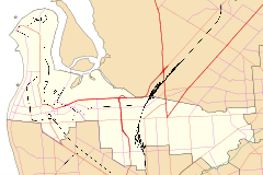
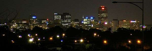
Northgate is a suburb in the inner north-east of Adelaide, South Australia. It is approximately a 10-minute drive from the Adelaide City Council.
Until March 2016, Northgate also included a significant portion of what is now Lightsview.[3]
Places of interest
Shopping
The Northgate Village Shopping Centre is located on the corner of Fosters Road and Folland Avenue and contains a Woolworths supermarket and some specialty stores.
Transport
Main roads within Northgate which are major public transport routes are:
- Grand Junction Road: Routes 237 and 361
- Fosters Road: Routes 204, 208 and 528
Main North Road and Hampstead Road are major arterial roads, in very close proximity to Northgate, with both having bus services supplying those roads.
The O-Bahn Busway is also close to Northgate, with Adelaide Metro providing a bus service that links the Adelaide city centre, the O-Bahn and Northgate.[4]
See also
External links
References
- ↑ Australian Bureau of Statistics (27 June 2017). "Northgate (SA) (State Suburb)". 2016 Census QuickStats. Retrieved 19 April 2018.

- ↑ "Placename Details: Northgate". Property Location Browser. Government of South Australia. SA0048769. Retrieved 30 April 2016.
- ↑
- Stephen Mullighan (7 April 2016). "Geographical Names Act 1991 - Notice to Alter the Boundaries of Places and Assign a Name and Boundary to a Place" (PDF). Government Gazette. Government of South Australia. p. 1119 (PDF page 7). Retrieved 30 April 2016.
- New Suburb of Lightsview (PDF) (Map). Government of South Australia. Retrieved 30 April 2016.
- ↑ https://www.adelaidemetro.com.au/routes/528