Murupara
| Murupara | |
|---|---|
| Minor urban area | |
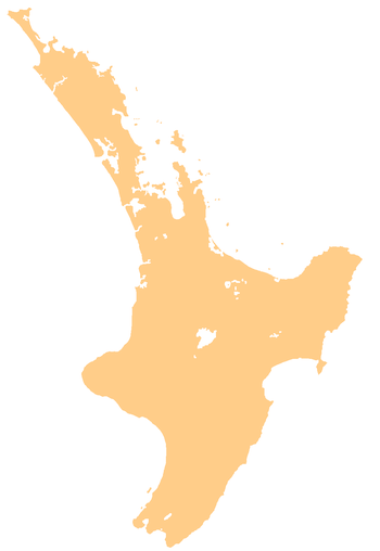 Murupara Murupara's location within the North Island | |
| Coordinates: 38°28′S 176°42′E / 38.467°S 176.700°ECoordinates: 38°28′S 176°42′E / 38.467°S 176.700°E | |
| Country | New Zealand |
| Region | Bay of Plenty |
| Territorial authority | Whakatāne District |
| Ward | Galatea-Murupara |
| Population (June 2017)[1] | |
| • Total | 1,770 |
| Postcode(s) | 3025 |
Murupara is a town located in the North Island of New Zealand. The town is situated in an isolated part of the Bay of Plenty region between the Kaingaroa Forest and Te Urewera National Park, on the banks of the Rangitaiki River, 65 kilometres southeast of Rotorua, along SH38.[2] Murupara is the terminus of the Murupara Branch railway. Its principal industries are all related to forestry. The name Murupara means "to wipe off mud".
Many years ago, Murupara was a staging post on the road between Rotorua and Napier. In the early 1900s, the planting of exotic trees began on the surrounding scrubland. This area is now known as the Kaingaroa Forest, with 1,400 square kilometres of planted pines. As the main service centre for the many forestry workers and their families, Murupara grew to a population of over 3000. Recent changes to the forestry contracting system have brought about a decrease in the number of permanent residents.
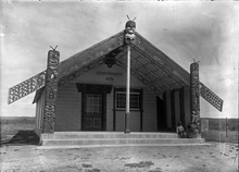
The settlements of Galatea, Horomanga, Kopuriki, Aniwhenua, Waiohau and Murupara lie between the boundary of the Kaingaroa Forest, the popular Te Urewera and Whirinaki Te Pua-a-Tāne Conservation Park. Earlier history is also evident around Murupara. In a rock shelter approximately eight kilometres west of the town centre are a number of ancient cave drawings.
Murupara was regarded as being a "Gang Town" but a rāhui (ban) on gang patches was instigated by the local iwi from being worn on local marae and at the local school.[3][4]
Notable people
- Jacinda Ardern (born 1980), Prime Minister of New Zealand and leader of the Labour Party
- Pem Bird, president of the Maori Party 2010-2013
- Bradley Iles, professional golfer
- Willie Ripia, Rugby union player
References
- ↑ "Subnational Population Estimates: At 30 June 2017 (provisional)". Statistics New Zealand. 24 October 2017. Retrieved 24 October 2017. For urban areas, "Subnational population estimates (UA, AU), by age and sex, at 30 June 1996, 2001, 2006-16 (2017 boundary)". Statistics New Zealand. 24 October 2017. Retrieved 24 October 2017.
- ↑ "Murupara Travel Guide". Jasons Travel Media.
- ↑ http://www.nzherald.co.nz/nz/news/article.cfm?c_id=1&objectid=10847517
- ↑ Katee Shanks and Greg Taipari (20 November 2009). "Big push for ban on gang patches". The Daily Post.