Mulher
| Mulher Ratnpur (Mahabharat Period) Mayurnagari (King Mayurdhwaj era) | |
|---|---|
| village | |
 Mulher Location in Maharashtra, India  Mulher Mulher (India) | |
| Coordinates: 20°46′53″N 74°03′50″E / 20.78139°N 74.06389°ECoordinates: 20°46′53″N 74°03′50″E / 20.78139°N 74.06389°E | |
| Country |
|
| State | Maharashtra |
| District | Nashik |
| Taluka | Baglan |
| Languages | |
| • Official | Marathi |
| Time zone | UTC+5:30 (IST) |
| PIN | 423302 |
| Vehicle registration | MH-41 |
| Nearest city | Malegaon,mangi-tungi, |
| Lok Sabha constituency | Dhule |
| Vidhan Sabha constituency | baglan |
| Climate | Cool (Köppen) |
Mulher is a village in the Nashik district of Maharashtra, India.[1]
Location
The village of Mulher(Mayurnagari) is located on the right (south) bank of the Mausam River, 3.5 km by road east (downstream) of the village of Vide Digar and the Haranbari Dam. It is 9 km by road west (upstream) of Taharabad.[2] It is located on State Highway 14. Mulher Fort is located in Mulher village.
History
The Rathore dynasty of Bagul ancestry reigned Baglan between 1310 and 1638. Mulher fort was their capital. The Mughals then gained control of Baglan. For the Surat ransack of January 1664 & October 1670, Shivaji Maharaj had followed the route passing through Baglan to reach Surat. On the first occasion, the entire region from Pune to Surat was under the command of the Mughals while on the second occasion, Baglan was mainly under their control. The Mughals chased Shivaji Raje on his return journey but they were defeated in the Kanchana Pass. Soon after this, Shivaji began a campaign in this region. In January 1671 the first assault brought the Salher fort under the Maratha rule. They then attacked Mulher fort but the Mughal Killedar repulsed the attack. However, the Marathas captured the Chaulher fort. In October 1671, the Mughals laid siege to Salher fort. But Shivaji despatched Moropant and Prataprao to break down the siege. They not only lifted the siege of Salher, but also attacked Mulher and captured it in February 1672. This feat resulted in the assimilation of the entire Baglan region into Swarajya.
How to reach
The nearest village is Mulher. It is connected by road. Buses and rickshaw are easily available from the nearest town Taharabad. From Mulher town the base of the Fort is at 5 km. There is no Hotel or Lodge at Mulher village. It is better to move at uddhav maharaj samadhi mandir or Mulher Machi for resting and night halt. From Mulher machi the trio of forts Mora, Hargad and Mulher can easily be climbed in a day.
Gallery
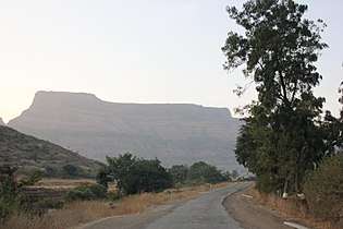 Mulher
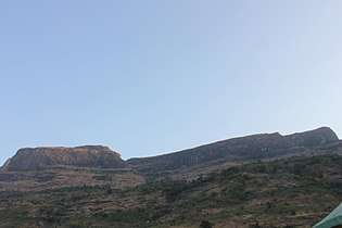 Mulher
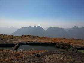 Rock cut cisterns on the fort with potable water
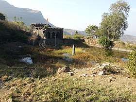 Ganesh mandir on Mulher Machi
Notes
- ↑ 2001 Census Village code for Mulher = 02491100, "2001 Census of India: List of Villages by Tehsil: Maharashtra" (PDF). Registrar General & Census Commissioner, India. p. 484. Archived (PDF) from the original on 13 November 2012.
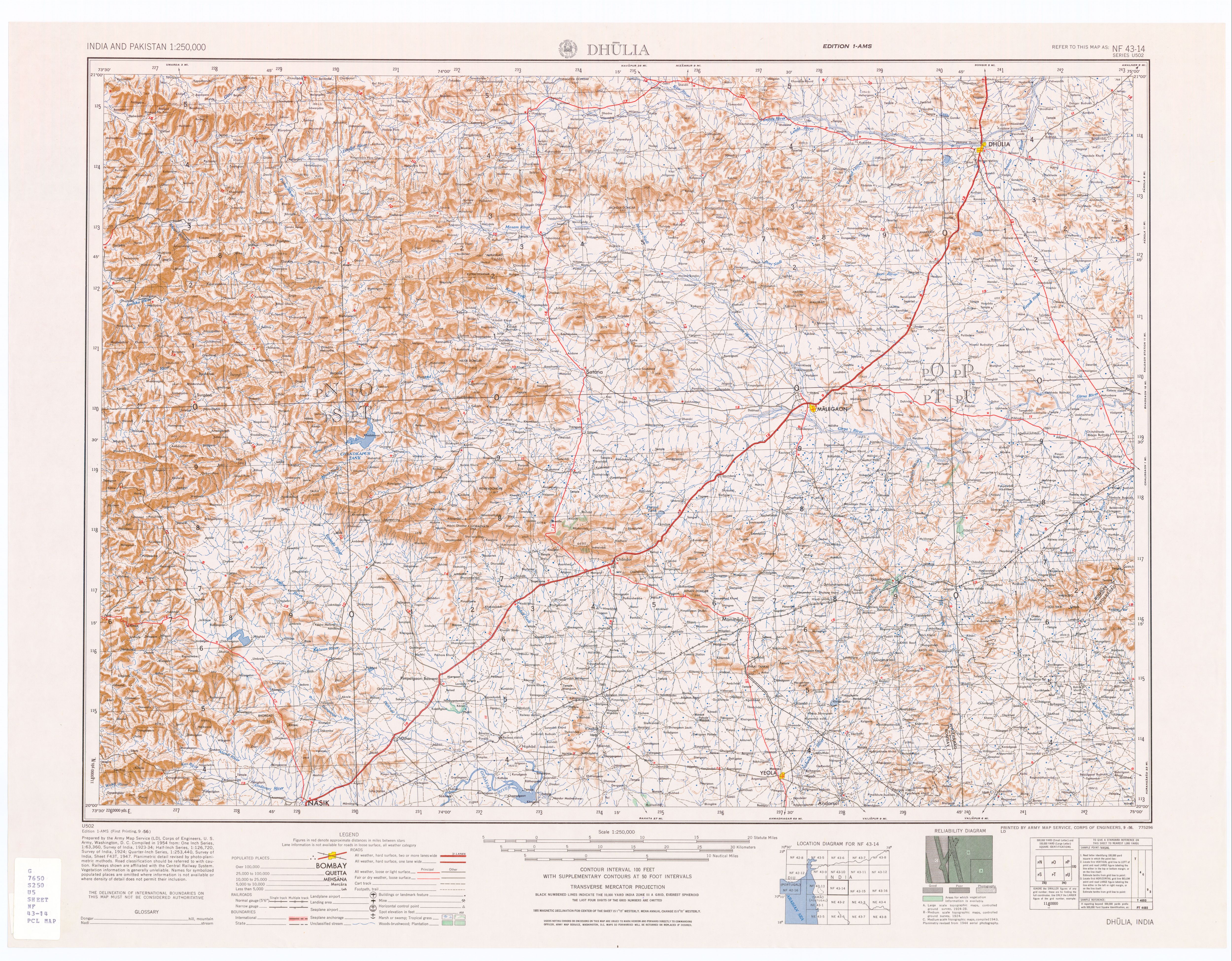
- ↑ Dhulia, India, Sheet NF 43-14 (topographic map, scale 1:250,000), Series U-502, United States Army Map Service, September 1956
See also
| Wikimedia Commons has media related to Rohida Fort. |
References
| Rulers | |
|---|---|
| Peshwas | |
| Amatya | |
| Pratinidhi |
|
| Women | |
| Maratha Confederacy |
|
| Battles |
|
| Wars | |
| Adversaries | |
| Forts | |
| Coins | |