Modrá (Uherské Hradiště District)
| Modrá | |||
|---|---|---|---|
| Municipality | |||
| |||
 Modrá | |||
| Coordinates: 49°6′42″N 17°24′11″E / 49.11167°N 17.40306°ECoordinates: 49°6′42″N 17°24′11″E / 49.11167°N 17.40306°E | |||
| Country |
| ||
| Region | Zlín | ||
| District | Uherské Hradiště | ||
| Area | |||
| • Total | 1.81 km2 (0.70 sq mi) | ||
| Elevation | 220 m (720 ft) | ||
| Population (2006) | |||
| • Total | 662 | ||
| • Density | 370/km2 (950/sq mi) | ||
| Postal code | 687 06 | ||
| Website | http://www.venkov.cz | ||
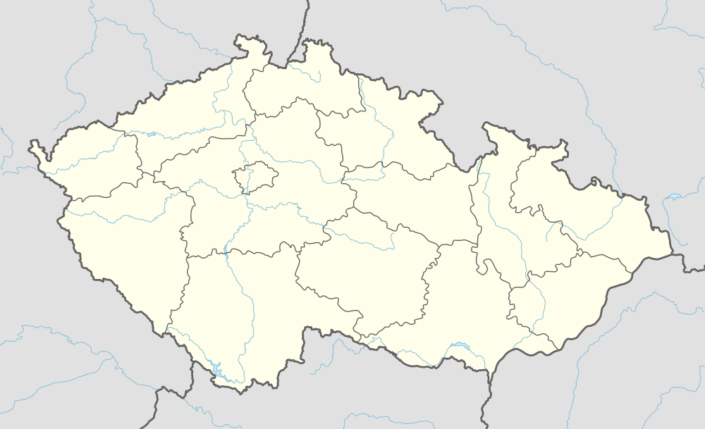
Modrá is a village and municipality (obec) in Uherské Hradiště District in the Zlín Region of the Czech Republic.
The municipality covers an area of 1.81 square kilometres (0.70 sq mi), and has a population of 662 (as at 28 August 2006).
Modrá lies approximately 7 kilometres (4 mi) north-west of Uherské Hradiště, 24 km (15 mi) south-west of Zlín, and 241 km (150 mi) south-east of Prague.
Archaeological outdoor museum
As the town has one of the oldest digs from Great Moravia period, an archaeological open-air museum was built in 2004 with replicas of the Great Moravia period buildings.
| Wikimedia Commons has media related to Archeologický skanzen Modrá. |
Živá voda nature exposition
Živá voda Modrá is a museum/outdoor exposition of Moravian wetlands biotop, containing indoor section with underwater glass tunnel showing freshwater fish in the outdoor pond. The outside exposition has various wetlands flora native to the region.[1] In February 2018, the exposition received two Tauros heifers on loan from Milovice Nature Reserve to help with conservation grazing.[2] A young non-related Tauros bull is to arrive from Milovice soon so that the exposition can have a breeding herd.[3]
References
| Wikimedia Commons has media related to Modrá (Uherské Hradiště District). |

