Moapa River Indian Reservation
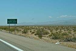
Moapa River Indian Reservation is an Indian reservation located northeast of Las Vegas, near Moapa. It is the land-base for the Moapa Band of Paiute Indians, a local band of Southern Paiute Indians. Moapa River Indian Reservation consists of 71,954 acres (29,119 hectares). As of the census of 2010, the population was 238, up from 206 in 2000.[1]
Location and geography

The reservation is crossed from northeast to southwest by the I-15 highway. In the southeast, it is adjacent to Valley of Fire State Park. In particular, Exit 75 of the highway and the local road leading to the west park entrance (formerly Nevada 169, decommissioned in 2001), down to the entrance, belong to the reservation.[2]
The reservation includes a 250 MW solar power generation facility which generates enough energy to power 111,000 homes, displacing around 341,000 metric tons of carbon dioxide annually.[3]
References
- ↑ United States Census Bureau, 2010 Census CPH-T-6. American Indian and Alaska Native Tribes in the United States and Puerto Rico: 2010.
- ↑ "Nevada 169". AARoads. Retrieved 19 March 2012.
- ↑ "First Solar". Moapa Southern Paiute Solar Project. Retrieved 2 August 2017.
External links
| Wikimedia Commons has media related to Moapa River Indian Reservation. |
Municipalities and communities of Clark County, Nevada, United States | ||
|---|---|---|
| Cities | 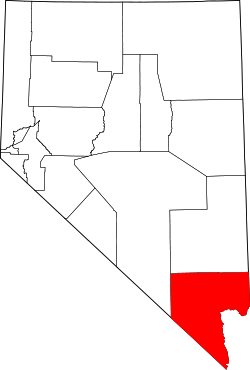 | |
| CDPs | ||
| Unincorporated communities | ||
| Township | ||
| Ghost towns | ||
| Indian reservations | ||
| Footnotes | ‡This populated place also has portions in an adjacent county or counties | |
Coordinates: 36°34′41″N 114°43′04″W / 36.5780°N 114.7179°W